Computer Vision

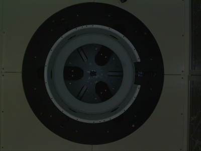
This abstract presents a dataset focused on circular objects within a production line environment, with diameters ranging from 30 to 70 cm. The dataset is designed to facilitate the development and evaluation of computer vision algorithms tailored for detecting and analyzing circular objects in industrial settings. It comprises a diverse collection of images captured under varying lighting conditions, backgrounds, orientations, and scales, mimicking real-world production line scenarios.

Categories:

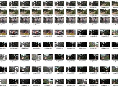
For the semantic segmentation to be effectively done, a labelled flood scene image dataset was created. This initiative was undertaken with official permission obtained from the BBC News Website and YouTube channel, providing a valuable dataset for our research. We were granted permission to use flood-related videos for research purposes, ensuring ethical and legal considerations. Specifically, videos were sourced from the BBC News YouTube channel. The obtained videos were then processed to extract image frames, resulting in a dataset comprising 10,854 images.

Categories:

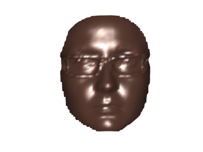
The Colour-Rendered Bosphorus Projections (CRBP) Face Dataset represents an innovative advancement in facial recognition and computer vision technologies. This dataset uniquely combines the precision of 3D face modelling with the detailed visual cues of 2D imagery, creating a multifaceted resource for various research activities. Derived from the acclaimed Bosphorus 3D Face Database, the CRBP dataset introduces colour-rendered projections to enrich the original dataset.

Categories:

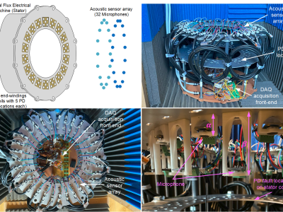
The Partial Discharge - Localisation Dataset, abbreviated: PD-Loc Dataset is an extensive collection of acoustic data specifically curated for the advancement of Partial Discharge (PD) localisation techniques within electrical machinery. Developed using a precision-engineered 32-sensor acoustic array, this dataset encompasses a wide array of signals, including chirps, white Gaussian noise, and PD signals.

Categories:

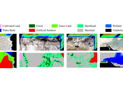
To test the feasibility of the idea: Using the processed data of sentinel-2 and GlobeLand30 as the input image and ground truth of subspace clustering for land cover classification, a dataset named 'MSI_Gwadar' is created.

'MSI_Gwadar' is a multi-spectral remote sensing image of Gwadar (town and seaport, southwestern Pakistan) and its four regions of interest, which includes MATLAB data files and ground truth files of the study area and its four regions of interest.


Categories:

Lorem Ipsum is simply dummy text of the printing and typesetting industry. Lorem Ipsum has been the industry's standard dummy text ever since the 1500s, when an unknown printer took a galley of type and scrambled it to make a type specimen book. It has survived not only five centuries, but also the leap into electronic typesetting, remaining essentially unchanged.

Categories:

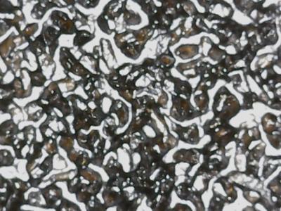
The dataset comprises image files of size 640 x 480 pixels for various grit sizes of Abrasive sheets. The data collected is raw. It can be used for analysis, which requires images for surface roughness. The dataset consists of a total of 8 different classes of surface coarseness. There are seven classes viz. P80, P120, P150, P220, P320, P400, P600 as per FEPA (Federation of European Producers of Abrasives) numbering system and one class viz. 60 as per ANSI (American National Standards Institute) standards numbering system for abrasive sheets.

Categories: