Remote Sensing

This dataset contains supporting information regarding the LCA modeling carried out in the scientific paper "Technical and Ecological Limits of 2.45-GHz Wireless Power Transfer for Battery-Less Sensors".
- Categories:
 307 Views
Accurate detection and segmentation of apple trees are crucial in high throughput phenotyping, further guiding apple trees yield or quality management. A LiDAR and a camera were attached to the UAV to acquire RGB information and coordinate information of a whole orchard. The information was integrated by simultaneous localization and mapping network to form a dataset of RGB-colored point clouds. The dataset can be used for methods related to apple detection and segmentation based on point clouds.
- Categories:
788 Views
This dataset provides the high-resolution remote senisng data regarding various coastline scenes.
- Categories:
316 Views
In this project, an LSTM-based Model Predictive Controller (LSTM-MPC), with 200 neurons of each layer, is designed to have a highly efficient control on the temperature. The resulted dataset is attached, for further considerations.
- Categories:
712 Views
This folder contains folders of images.
The original folder contains the non dehazed images, default and tuned contain the dehazed counterparts.
Default folder referes to the outputs obtained using an exponent of 0.8.
Tuned refers to the images with a PSNRBR of 54 or above.
The images in paper are kept in a seperate folder.
- Categories:
47 Views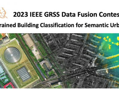

ocean front time-series
- Categories:
105 Views
In this dataset, we provided the raw analog-to-digital-converter (ADC) data of a 77GHz mmwave radar for the automotive object detection scenario. The overall dataset contains approximately 19800 frames of radar data as well as synchronized camera images and labels. For each radar frame, its raw data has 4 dimension: samples (fast time), chirps (slow time), transmitters, receivers. The experiment radar was assembled from the TI AWR 1843 board, with 2 horizontal transmit antennas and 4 receive antennas.
- Categories:
6248 Views
This dataset provides Channel Impulse Response (CIR) measurements from standard-compliant IEEE 802.11ay packets to validate Integrated Sensing and Communication (ISAC) methods. The CIR sequences contain reflections of the transmitted packets on people moving in an indoor environment. They are collected with a 60 GHz software-defined radio experimentation platform based on the IEEE 802.11ay Wi-Fi standard, which is not affected by frequency offsets by operating in full-duplex mode.
The dataset is divided into three parts:
- Categories:
2233 Views
The greenhouse remote sensing image dataset we produced contains 2101 tiles and 23914 greenhouses. And in the data set, 37.9% of dense scenes were added, so that the model trained through this data set could better adapt to the dense scene detection task.
- Categories:
723 Views