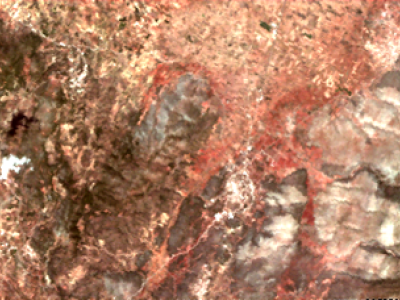
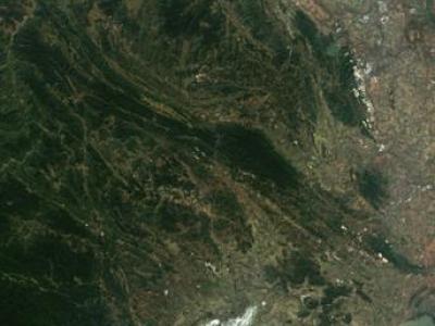
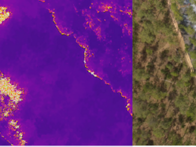
Geo-Sensing

The dataset contains fitted three-pole Debye dielectric model parameters of 567 soil spectra. Three soils of loamy sand, sandy loam, and silt loam textures were tested. Of each soil, 20 samples of various water contents were prepared with the use of distilled water and potassium chloride solutions, 5 samples for each liquid. Air-dry samples were also prepared. Dielectric spectra were obtained with the use of a six-channel coaxial-transmission-line cell system at 9 controlled temperature steps from 0.5 to 40°C in the 0.02 – 3 GHz frequency range.

Categories:
107 Views

Gorakhpur is a city located in the north-eastern region of

Uttar Pradesh state of India. It is a sub-part of Purvanchal

region of Uttar Pradesh and Bihar. In the south-western

part, Gorakhpur periphery spreads along Rapti river. In

the north-western region, Gorakhpur shares its periphery

with Chillua Tal. In the southern part, Ramgarh Tal with a

perimeter of 18 km is located.


Water Bodies:


+ Ramgarh Tal is a historically important heritage site and

is also a tourist attraction; spread over 700 hectares of

Categories:
75 Views

India is a sub-continent that stretches from Ladakh in

the North to Kanyakumari in the South and from

Gujrat in the West to Arunachal Pradesh, Nagaland

and Manipur in the East. India is currently the

seventh largest country by land covering an area of

approximately 32,87,263 kms.


India's Space Strengths:

India is the fourth country in the world to have

destroyed a satellite of its own. India built the

record-breaking space capability of launching 104

satellites on a single Polar Satellite Launch Vehicle

Categories:
63 Views

Radio Frequency (RF) signals transmitted by Global Navigation Satellite Systems (GNSS) are exploited as signals of opportunity in many scientific activities, ranging from sensing waterways and humidity of the terrain to the monitoring of  the ionosphere. The latter can be pursued by processing the GNSS signals through dedicated ground-based monitoring equipment, such as the GNSS Ionospheric Scintillation and Total Electron Content Monitoring (GISTM) receivers.

Categories:
51 Views

Perth-WA is the localization dataset that provides 6DoF annotations in 3D point cloud maps. The data comprises a LiDAR map of 4km square region of Perth Central Business District (CBD) in Western Australia. The scenes contain commercial structures, residential areas, food streets, complex routes, and hospital building etc.

Categories:
214 Views

Ground Penetrating Radar (GPR) has a wide range of applications such as detection of buried mines, pipes and wires. GPR has been used as a near-surface remote sensing technique, and its working principle is based on electromagnetic (EM) wave theory. Here proposed data set is meant for data driven surrogate modelling based Buried Object Characterization. The considered problem of estimating geophysical parameters of a buried object is 2D. The training and testing scenarios include B-scan images (2D data), which contain 16 pairs of A-scan (concatenated forms of A-scans).

Categories:
467 Views

This article presents the details of the Cardinal RF (CardRF) dataset. CardRF is acquired to foster research in RF- based UAV detection and identification or RF fingerprinting. RF signals were collected from UAV controllers, UAV, Bluetooth, and Wi-Fi devices. Signals are collected at both visual line-of-sight and beyond-line-of-sight. The assumptions and procedure for the data acquisition are presented. A detailed explanation of how the data can be utilized is discussed. CardRF is over 65 GB in storage memory.

Categories:
3341 Views

The Copernicus Sentinel-3 mission is part of the first generation of Copernicus satellites and was set out to deliver operationally high quality measurements over ocean, land and atmosphere. The European Space Agency is now studying concepts for the Next Generation Sentinel-3 Topography mission (S3NGT) mission that would launch in the 2032+ time period. In order to meet the primary objectives of the S3NGT mission requirement document a complex analysis of river and lake targets is required to size the satellite mass memory and downlink system.

Categories:
376 Views

The Internet of Things and edge computing are fostering a future of ecosystems

hosting complex decentralized computations, deeply integrated with our very dynamic

environments. Digitalized buildings, communities of people, and cities will be the

next-generation “hardware and platform”, counting myriads of interconnected devices, on top of

which intrinsically-distributed computational processes will run and self-organize. They will

spontaneously spawn, diffuse to pertinent logical/physical regions, cooperate and compete,

Categories:
139 Views

This dataset contains the vehicular densities from a location in Jeju-si, South Korea.  The dataset considers the regions to be classified as a tracking area code (TAC) cell, over which the time-series data for multi-class vehicular densities is provided.The dataset contains the major areas/junctions from where the Jeju International Airport and Jeju Seaport traffic passes on daily. Jeju International Airport is one of the busiest airpots in the world.

Categories:
173 Views

Pages