Climate Change/Environmental

Tree planting has the potential to improve the livelihoods of millions of people as well as to support environmental services such as biodiversity conservation. Planting however needs to be executed wisely if benefits are to be achieved. We have developed the GlobalUsefulNativeTrees (GlobUNT) database to directly support the principles advocated by the ‘golden rules for reforestation’, including planting tree mixtures that maximize the benefits to local livelihoods and the diversity of native trees.
- Categories:
 159 Views
As the harmful effects of climate change on human society increase, the analysis of abnormal weather is becoming an important issue. Therefore, this work provides the Korean weather dataset, including the anomaly score measurements by using seven different methods. In this dataset, seven types of weather data for each day in 64 Korean cities from 2010 to 2020 are provided by Weather Radar Center in Korea Meteorological Administration.
- Categories:
301 Views
Learning SAR Dataset for Wet Snow Detection - Full Analysis Version.
- Categories:
316 Views
It is observed from the pattern of Electricity Demand in the months of November 2022 and March 2023 that switchover from Summer Time to Winter Time and vice versa causes a shift in demand pattern corresponding to the time shifts. The hourly electricity demands of US48 states have been shown in separate excel files for November 2022 and March 2023. In sheet 2 of both the excel files, a graphical plot of the average hourly demands in the week before the switchover has been compared with a graphical plot of the average hourly demands in the week after the switchover.
- Categories:
29 Views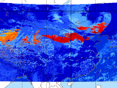
Since meteorological satellites can observe the Earth’s atmosphere from a spatial perspective at a large scale, in this paper, a dust storm database is constructed using multi-channel and dust label data from the Fengyun-4A (FY-4A) geosynchronous orbiting satellite, namely, the Large-Scale Dust Storm database based on Satellite Images and Meteorological Reanalysis data (LSDSSIMR), with a temporal resolution of 15 minutes and a spatial resolution of 4 km from March to May of each year during 2020–2022.
- Categories:
820 Views
This paper presents a bi-directional Long ShortTerm Memory (LSTM) model for the detection of landslides. Previous uses of machine learning in this setting have demonstrated its general potential, which necessitates the implementation of a suitable algorithm. Landslides are natural disasters that can cause significant destruction and disruption in the affected areas. Early detection is the key to minimizing the impact of landslides, so it is important to develop accurate and efficient models.
- Categories:
1894 Views
Adverse climatic events like heat stress, floods, unseasonal rainfall, and droughts frequently hinder crop productivity. Long-term crop yield data plays a crucial role in food security planning. This study presents historical wheat yield data at the satellite pixel level from 2001 to 2019 in Uttar Pradesh, India. We use various satellite indicators to develop wheat yield models, including the normalized difference vegetation index and gridded weather data, such as precipitation, temperature, and evapotranspiration.
- Categories:
979 Views
Social Media Big Dataset for Research, Analytics, Prediction, and Understanding the Global Climate Change Trends is focused on understanding the climate science, trends, and public awareness of climate change. The use of dataset for analytics of climate change trends greatly helps in researching and comprehending global climate change trends.
- Categories:
4297 Views
The dataset aims to facilitate research in the optimization of the carbon footprint of recipes. Consisting of 30 Excel files processed through various Python scripts and Jupyter notebooks, the dataset serves as a versatile resource for both performance analysis and environmental impact assessment. The unique attribute of this dataset lies in its ability to calculate representative values of carbon footprint optimization through multiple algorithmic implementations.
- Categories:
259 Views