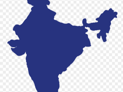
Weather
This dataset contains high-resolution solar and wind measurement data collected from the Feni region, Bangladesh, spanning from 2017 to 2019. Logged at a 1-minute interval, the dataset provides a comprehensive record of atmospheric and meteorological conditions, essential for renewable energy analysis, climatological studies, and resource assessment.
- Categories:
The UQTR dataset consists of 7838 real and synthetic images of the Université du Québec à Trois-Rivières (UQTR) campus road under normal and snow conditions. The image resolution is 1280×720. It includes lane labels in .txt files, where each row stores the set of points of a lane. The points are stored as x1 y1 x2 y2, as in the tutorial by Ruijin Liu, Zejian Yuan, Tie Liu, Zhiliang Xiong: Train and Test Your Custom Data.
- Categories:
Accurately predicting spatially-continuous daily air temperature (Ta) is critical for agriculture, environmental management, and ecology. While meteorological stations provide precise Ta data, their spatial coverage is limited. Remotely-sensed Land Surface Temperature (LST), often fused with meteorological data, offers broader spatial coverage but struggles due to complex relationships between Ta and LST, influenced by factors like topography and human activities.
- Categories:

This dataset contains a collection of images documenting various natural disasters. The images are sourced from multiple events worldwide, capturing the impact, devastation, and aftermath of these disasters. Each image is labeled with relevant metadata, such as the type of disaster, location, and date of occurrence. The dataset is designed to support research and development in fields such as disaster management, image recognition, machine learning, and humanitarian aid.
- Categories:
This dataset presents daily meteorological data collected from 2004 to 2024 by BMKG (Meteorology, Climatology, and Geophysical Agency) at the Sleman Station, Yogyakarta, Indonesia. The data includes several key weather parameters: minimum, maximum, and average temperatures, relative humidity, rainfall, sunshine duration, wind speed, and wind direction. This comprehensive dataset serves as a valuable resource for research on climate variability, environmental changes, and weather forecasting over a period of 20 years.
- Categories:
This dataset includes 30 hyperspectral cloud images captured during the Summer and Fall of 2022 at Auburn University at Montgomery, Alabama, USA (Latitude N, Longitude W) using aResonon Pika XC2 Hyperspectral Imaging Camera. Utilizing the Spectronon software, the images were recorded with integration times between 9.0-12.0 ms, a frame rate of approximately 45 Hz, and a scan rate of 0.93 degrees per second. The images are calibrated to give spectral radiance in microflicks at 462 spectral bands in the 400 – 1000 nm wavelength region with a spectral resolution of 1.9 nm.
- Categories:

The atmospheric radio propagation data set includes atmospheric environment data and radio frequency propagation phase detection data. Atmospheric environment data is collected by temperature, humidity and pressure sensors with a sampling rate of 1. The test time lasts for 10,000 seconds. RF propagation phase jitter was measured by the phase comparison method using a digital multimeter (Keysight 34411A) with a sampling rate of 1. The measurement time is 40,000 seconds.
- Categories:

SETCD (Satellite and ERA5-based Tropical Cyclone Dataset), a comprehensive dataset encompassing satellite imagery data and ERA5 data for all TCs recorded between 1980 and 2022. Our dataset is derived from two publicly available data sources: GridSat-B1 and ERA5. To capture relevant information associated with TC, SETCD adopts the latitude and longitude positions provided by IBTrACS as the center points. The satellite data within the SETCD dataset consists of three channels from GridSat-B1: infrared, water vapor, and visible.
- Categories:

This data is the reanalysis of sea surface temperature provided by Extended Reconstruction Sea Surface Temperature version 5 (ERSST v.5) from January 1854 to December 2022, Hadley Centre Global Sea Ice and Sea Surface Temperature (HadISST) from January 1870 to December 2022, and COBE-SST2 Sea Surface Temperature and Ice (COBE-SST2) from January 1854 to December 2022. All data is re-gridded to have the same spatial resolution of 2.0° × 2.0°, and the grid spans from 88°N to 88°S and 0°E to 358°E via bilinear interpolation from the initial grid. This dataset is in NetCDF4 format.
- Categories: