Computer Vision
This dataset comprises 33,800 images of underwater signals captured in aquatic environments. Each signal is presented against three types of backgrounds: pool, marine, and plain white. Additionally, the dataset includes three water tones: clear, blue, and green. A total of 12 different signals are included, each available in all six possible background-tone combinations.
- Categories:
 507 Views
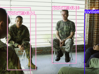
Scene understanding in a contested battlefield is one of the very difficult tasks for detecting and identifying threats. In a complex battlefield, multiple autonomous robots for multi-domain operations are likely to track the activities of the same threat/objects leading to inefficient and redundant tasks. To address this problem, we propose a novel and effective object clustering framework that takes into account the position and depth of objects scattered in the scene. This framework enables the robot to focus solely on the objects of interest.
- Categories:
 345 Views
Sign Language Recognition integrates computer vision and natural language processing to automatically interpret hand gestures and translate them into spoken or written Bengali. The primary goal is to bridge the communication gap between sign language users and non-users by recognizing gestures, movements, postures, and facial expressions that correspond to spoken language elements. Since hand gestures are the cornerstone of sign language communication, they play a pivotal role in improving the accuracy of sign language recognition systems.
- Categories:
 202 Views
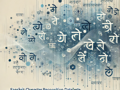
The "Sanskrit Character Dataset" includes 44 classes of handwritten Sanskrit characters, designed to support research in optical character recognition (OCR) and machine learning for ancient languages. Each class represents a unique Sanskrit letter, collected in various handwriting styles to ensure diversity and robustness. For each class, 50 to 80 images are included. To ensure diversity and real-world applicability, the letters were written in various handwriting styles.
- Categories:
 345 Views
The Tunnel Cable Fire dataset is derived experimentally, this dataset contains images of cable flames at different stages, different cable layers, and different wind speeds, with a special focus on computer vision tasks such as fire detection and segmentation. These images have been enhanced with mosaic data for a total of 1812 datasets, including single and double layer cable fire images in the case of no wind and wind speed of 2.7m/s.
- Categories:
 328 Views
Most existing machine learning classifiers are highly vulnerable to adversarial examples. An adversarial example is a sample of input data which has been modified very slightly in a way that is intended to cause a machine learning classifier to misclassify it. In many cases, these modifications can be so subtle that a human observer does not even notice the modification at all, yet the classifier still makes a mistake.
- Categories:
 54 Views
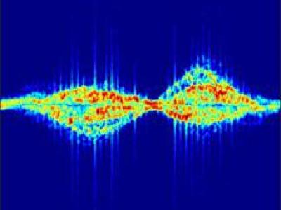
现有的公开数据集往往存在数据量小,训练过程不充分,导致过拟合严重,泛化性能差的问题。针对这一问题,构建了雷达数据集 RadSet。在数据获取阶段,frequency modulated continuous wave (FMCW) radar system IWR1843 Boost manufactured by Texas Instruments (TI) was used. The RadSet dataset is collected by I+ Lab at Shandong University, covering a rectangular area 5 meters long in front of the radar and 4 meters wide, with the radar placed at a height of 120 cm above the ground. The volunteers execute the aforementioned activities at distances ranging between 1 to 5 meters from the radar.
- Categories:
 243 Views
This Dataset is a self-harm dataset developed by ZIOVISION Co. Ltd. It consists of 1,120 videos. Actors were hired to simulate self-harm behaviors, and the scenes were recorded using four cameras to ensure full coverage without blind spots. Self-harm behaviors in the dataset are limited to "cutting" actions targeting specific body parts. The designated self-harm areas include the wrists, forearms, and thighs.
The full dataset can be accesssed through https://github.com/zv-ai/ZV_Self-harm-Dataset.git
- Categories:
 87 Views
The proper evaluation of food freshness is critical to ensure safety, quality along with customer satisfaction in the food industry. While numerous datasets exists for individual food items,a unified and comprehensive dataset which encompass diversified food categories remained as a significant gap in research. This research presented UC-FCD, a novel dataset designed to address this gap.
- Categories:
 406 Views
Brain tumors are among the most severe and life-threatening conditions affecting both children and adults. They constitute approximately 85-90% of all primary Central Nervous System (CNS) tumors, with an estimated 11,700 new cases diagnosed annually. The 5-year survival rate for individuals with malignant brain or CNS tumors is alarmingly low, at 34% for men and 36% for women. Brain tumors are categorized into various types, including benign, malignant, and pituitary tumors.
- Categories:
 613 Views