Computer Vision

Sequential skeleton and average foot pressure data for normal and five pathological gaits (i.e., antalgic, lurching, steppage, stiff-legged, and Trendelenburg) were simultaneously collected. The skeleton data were collected by using Azure Kinect (Microsoft Corp. Redmond, WA, USA). The average foot pressure data were collected by GW1100 (GHIWell, Korea). 12 healthy subjects participated in data collection. They simulated the pathological gaits under strict supervision. A total of 1,440 data instances (12 people x 6 gait types x 20 walkings) were collected.

Categories:

This is a unique energy-aware navigation dataset collected at the Canadian Space Agency’s Mars Emulation Terrain (MET) in Saint-Hubert, Quebec, Canada. It consists of raw and post-processed sensor measurements collected by our rover in addition to georeferenced aerial maps of the MET (colour mosaic, elevation model, slope and aspect maps). The data are available for download in human-readable format and rosbag (.bag) format. Python data fetching and plotting scripts and ROS-based visualization tools are also provided.

Categories:

Opportunity++ is a precisely annotated dataset designed to support AI and machine learning research focused on the multimodal perception and learning of human activities (e.g. short actions, gestures, modes of locomotion, higher-level behavior).

Categories:

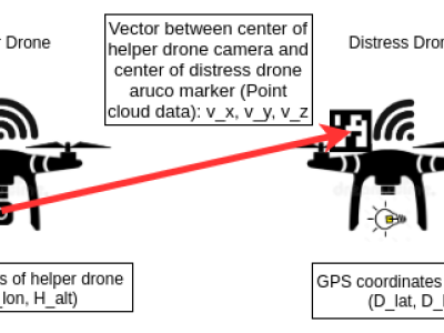
We design a solution to achieve coordinated localization between two unmanned aerial vehicles (UAVs) using radio and camera perception. We achieve the localization between the UAVs in the context of solving the problem of UAV Global Positioning System (GPS) failure or its unavailability. Our approach allows one UAV with a functional GPS unit to coordinate the localization of another UAV with a compromised or missing GPS system. Our solution for localization uses a sensor fusion and coordinated wireless communication approach.

Categories:

There is an industry gap for publicly available electric utility infrastructure imagery.  The Electric Power Research Institute (EPRI) is filling this gap to support public and private sector AI innovation.  This dataset consists of ~30,000 images of overhead Distribution infrastructure.  These images have been anonymized, reviewed, and .exif image-data scrubbed.  EPRI intends to label these data to support its own research activities.  As these labels are created, EPRI will periodically update this dataset with those data.

Update: July 2022

Categories:

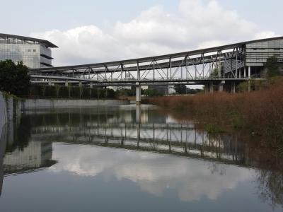
The Dasha River dataset was collected by a USV sailing along the Dasha River in Shenzhen, China. Visual images in the dataset were extracted from two videos taken from a USV perspective, with a resolution of 1920×1080 pixels. Totally 360 images were obtained after screening, and all labels were manually annotated.

Categories:

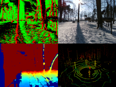
A new generation of computer vision, namely event-based or neuromorphic vision, provides a new paradigm for capturing visual data and the way such data is processed. Event-based vision is a state-of-art technology of robot vision. It is particularly promising for use in both mobile robots and drones for visual navigation tasks. Due to a highly novel type of visual sensors used in event-based vision, only a few datasets aimed at visual navigation tasks are publicly available.

Categories: