Transportation
Since the longitudes and latitudes of the drivers in the Gaia dataset are mainly in city of Chengdu, it is not in the same area as the longitudes and latitudes in the EUA-dataset from Australia, we translate the latitudes and longitudes of drivers to Melbourne, Australia.The drivers will be located around the users and the base stations of the Melbourne subset of EUA-dataset.
- Categories:
 182 Views
Traffic traces from SUMO simulator
- Categories:
 83 Views
The dataset is available in GitHub and the link is given below:
https://github.com/sahilarora3117/capstone-19BCE1366-2023
- Categories:
 117 Views
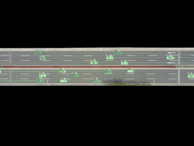
The extraction and construction of high-precision and long-distance vehicle trajectory data and microscopic traffic flow characteristics are critical for traffic safety studies. Current research typically relies on a limited number of datasets which suffer from vehicle detection inaccuracy and limitation of the coverage area. Therefore, we establish a high-precision and long-distance vehicle trajectory dataset of urban scenarios, which is also named as WUT-NGSIM.
- Categories:
 1675 Views
This dataset is used to design patent and many machines can be designed using this dataset.
This is a very important dataset to do breakthrough. One of the secrets behind invention is revealed in these datasets.
Part of this design, with manually done tabulated calculations were submitted as the proposal design (for innovation challenge) proposed by the author, in the small concept paper to Ministry of Railways, Govt. of India in the year 2017.
As the Excel files(using LibreOffice) are given, so no paper is written is for it.
- Categories:
 1918 Views
Nowadays road accident in Bangladesh is a buzzword due to its lack of carefulness of the driver of the vehicle where some parameter exists. The traffic safety of the roadway is an essential concern not only for transportation governing agencies but also for citizens of our country. For safe driving suggestions, the important thing is to find the variables that are tensed to relate to the fatal accidents that are occurring often. In this dataset, we provides a detailed account of the road accidents that covers the year of 2016 to 2019.
- Categories:
 2389 Views
Nowadays road accident in Bangladesh is a buzzword due to its lack of carefulness of the driver of the vehicle where some parameter exists. The traffic safety of the roadway is an essential concern not only for transportation governing agencies but also for citizens of our country. For safe driving suggestions, the important thing is to find the variables that are tensed to relate to the fatal accidents that are occurring often. In this dataset, we provides a detailed account of the road accidents that covers the year of 2016 to 2019.
- Categories:
 Views
Views"In this article, we present a novel approach to designing and optimizing unmanned aerial vehicles (UAVs) to carry low-weight cargo. Various computational design techniques are involved, including the computer-aided design (CAD) of the aircraft's mechanical components and the simulation of its structural and material properties by finite elements methods (FEM). Mathematical models were also used to describe and improve the rotodynamic stability, control, and weight-carrying capacity of the UAV.
- Categories:
 264 Views
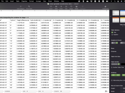
This dataset presents the acceleration values of the spreader with the attached containers that are being unloaded from a container ship, as well as detected impacts to the vertical cell guides and other containers during hooking procedures inside the ship for 102 cycles. This dataset was partially used in a recent publication:
- Categories:
 176 Views


