remote sensing
The IARPA Space-Based Machine Automated Recognition Technique (SMART) program was one of the first large-scale research program to advance the state of the art for automatically detecting, characterizing, and monitoring large-scale anthropogenic activity in global scale, multi-source, heterogeneous satellite imagery. The program leveraged and advanced the latest techniques in artificial intelligence (AI), computer vision (CV), and machine learning (ML) applied to geospatial applications.
- Categories:
 198 Views
The AMD3IR dataset is a large-scale collection of Shortwave Infrared (SWIR) and Longwave Infrared (LWIR) images, designed to advance the ongoing research in the field of drone detection and tracking. It efficiently addresses key challenges such as detecting and distinguishing small airborne objects, differentiating drones from background clutter, and overcoming visibility limitations present in conventional imaging. The dataset comprises 20,865 SWIR images with 24,994 annotated drones and 8,696 LWIR images with 10,400 annotated drones, featuring various UAV models.
- Categories:
 606 Views
The dataset used in this study combines remote sensing data from multiple advanced platforms, including Synthetic Aperture Radar (SAR) from Sentinel-1, multispectral imagery from Sentinel-2, and LiDAR measurements from the Global Ecosystem Dynamics Investigation (GEDI) mission. Each of these sources offers unique and complementary information, enabling a detailed and comprehensive analysis of forest canopy height across diverse and ecologically significant regions in northern Vietnam.
- Categories:
 277 Views
Based on the analysis of laser characteristics, we have created a simulated dataset of near-infrared images of 1064nm laser spots. The spot collection process was carried out under natural light conditions. The divergence phenomenon during laser irradiation was excluded because the emitted 1064nm laser spots are adjustable.
- Categories:
 120 Views
Abstract
- Categories:
 308 Views
Jamming devices present a significant threat by disrupting signals from the global navigation satellite system (GNSS), compromising the robustness of accurate positioning. The detection of anomalies within frequency snapshots is crucial to counteract these interferences effectively. A critical preliminary measure involves the reliable classification of interferences and characterization and localization of jamming devices.
- Categories:
 263 Views
Jamming devices pose a significant threat by disrupting signals from the global navigation satellite system (GNSS), compromising the robustness of accurate positioning. Detecting anomalies in frequency snapshots is crucial to counteract these interferences effectively. The ability to adapt to diverse, unseen interference characteristics is essential for ensuring the reliability of GNSS in real-world applications. We recorded a dataset with our own sensor station at a German highway with two interference classes and one non-interference class.
- Categories:
 306 Views
Interference signals degrade and disrupt Global Navigation Satellite System (GNSS) receivers, impacting their localization accuracy. Therefore, they need to be detected, classified, and located to ensure GNSS operation. State-of-the-art techniques employ supervised deep learning to detect and classify potential interference signals. We fuse both modalities only from a single bandwidth-limited low-cost sensor, instead of a fine-grained high-resolution sensor and coarse-grained low-resolution low-cost sensor.
- Categories:
 457 Views
Jamming devices pose a significant threat by disrupting signals from the global navigation satellite system (GNSS), compromising the robustness of accurate positioning. Detecting anomalies in frequency snapshots is crucial to counteract these interferences effectively. The ability to adapt to diverse, unseen interference characteristics is essential for ensuring the reliability of GNSS in real-world applications. We recorded a dataset with our own sensor station at a German highway with eight interference classes and three non-interference classes.
- Categories:
 223 Views
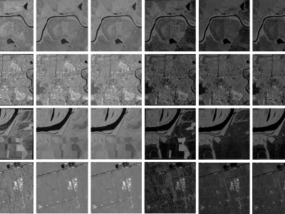
When training supervised deep learning models for despeckling SAR images, it is necessary to have a labeled dataset with pairs of images to be able to assess the quality of the filtering process. These pairs of images must be noisy and ground truth. The noisy images contain the speckle generated during the backscatter of the microwave signal, while the ground truth is generated through multitemporal fusion operations. In this paper, two operations are performed: mean and median.
- Categories:
 761 Views


