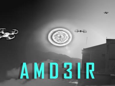
AMD3IR
- Citation Author(s):
-
Aqsa Abu Bakar
 (SEECS,NUST/AITeC,NCP)
Hassan Mujtaba
(PIEAS)
Mughees Sarwar Awan
(UET Taxila)
Khursheed Hasnain
(AITeC,NCP)
Wajid Mumtaz
(SEECS,NUST)
(SEECS,NUST/AITeC,NCP)
Hassan Mujtaba
(PIEAS)
Mughees Sarwar Awan
(UET Taxila)
Khursheed Hasnain
(AITeC,NCP)
Wajid Mumtaz
(SEECS,NUST)
- Submitted by:
- Aqsa Abu Bakar
- Last updated:
- DOI:
- 10.21227/3e20-3p06
- Data Format:
 626 views
- Categories:
- Keywords:
-
Abstract
The AMD3IR dataset is a large-scale collection of Shortwave Infrared (SWIR) and Longwave Infrared (LWIR) images, designed to advance the ongoing research in the field of drone detection and tracking. It efficiently addresses key challenges such as detecting and distinguishing small airborne objects, differentiating drones from background clutter, and overcoming visibility limitations present in conventional imaging. The dataset comprises 20,865 SWIR images with 24,994 annotated drones and 8,696 LWIR images with 10,400 annotated drones, featuring various UAV models. Captured across diverse real-world conditions, it includes scenarios such as low-light environments, thermal crossover effects in LWIR, drones in the proximity of sun, drone vs bird differentiation, and UAVs over construction sites or at long distances. Various techniques, including focus variations, zoom levels, and multispectral environmental conditions, further enhance the dataset’s applicability for drone detection, tracking, and surveillance.
While AMD3IR is a rich source of UAV detection data, it also represents real-world infrared imaging limitations like the presence of glare in the case of SWIR, narrow field of view, and the presence of contaminants on the lens that can impact the accuracy of the detections. However, these challenges also make AMD3IR a valuable resource for developing robust computer vision models capable of handling real-world constraints.
Instructions:
The AMD3IR dataset consists of SWIR and LWIR images with detailed annotations for UAV detection . Designed to accommodate various lighting and environmental challenges, it serves as a valuable resource for advancing infrared-based aerial monitoring. The dataset offers labeled drone instances across multiple operational conditions, making it well-suited for applications in security, object tracking, and real-time surveillance.