positioning
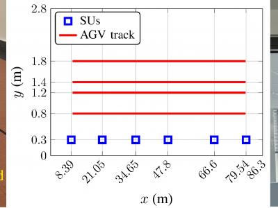
Dataset containing Ultra-Wideband (UWB) Active-Passive Two-Way-Ranging (AP-TWR) protocol range estimates, using the Qorvo DW1000 chip-based Eliko UWB RTLS system. Data was captured in an industrial environment, at the premises of a thermoplastic pipe manufacturer Krah Pipes OÜ, located near Tallinn, Estonia in December 2022.
- Categories:
 123 Views
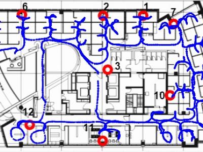
Accurately obtaining the position of active transmitters within an indoor wireless network has promising applications in future wireless networks. However, due to the complex propagation phenomena experienced by signals indoors, classical model-based localization techniques present poor accuracy, and machine learning (ML) based positioning has a promising potential to deliver high accuracy localization services indoors.
- Categories:
 229 Views
Extensive use of unmanned aerial vehicles (UAVs) is expected to raise privacy and security concerns among individuals and
communities. In this context, detection and localization of UAVs will be critical for maintaining safe and secure airspace in the
future. In this work, Keysight N6854A radio frequency (RF) sensors are used to detect and locate a UAV by passively monitoring
the signals emitted from the UAV. First, the Keysight sensor detects the UAV by comparing the received RF signature with various
- Categories:
 1257 Views
This dataset contains the data of three different positions of persons. The main focus of this dataset is on three positions those are Sit, Stand and Sleep. This dataset is collected by using a 3-axis accelerometer sensor value using the Inertial Measurement Unit (IMU) (MPU-9250) Sensor. We collected this data by positioning this instrument on the arm of the person.
- Categories:
 269 Views
Dataset used for "A Machine Learning Approach for Wi-Fi RTT Ranging" paper (ION ITM 2019). The dataset includes almost 30,000 Wi-Fi RTT (FTM) raw channel measurements from real-life client and access points, from an office environment. This data can be used for Time of Arrival (ToA), ranging, positioning, navigation and other types of research in Wi-Fi indoor location. The zip file includes a README file, a CSV file with the dataset and several Matlab functions to help the user plot the data and demonstrate how to estimate the range.
- Categories:
 3455 Views
Dataset of V2V (vehicle to vehicle communication), GPS, inertial and WiFi data collected during a road vehicle trip in the city of Porto, Portugal. Four cars were driven along the same route (approx. 12 km), facing everyday traffic conditions with regular driving behavior. No special environments or settings were chosen, other than keeping the vehicles in communication reach of each other for as long as possible while being safe and compliant with the road rules.
- Categories:
 2918 Views
Dataset of GPS, inertial and WiFi data collected during road vehicle trips in the district of Porto, Portugal. It contains 40 trip datasets collected with a smartphone fixed on the windshield or dashboard, inside the road vehicle. The dataset was collected and used in order to develop a proof-of-concept for "MagLand: Magnetic Landmarks for Road Vehicle Localization", an approach that leverages magnetic anomalies created by existing road infrastructure as landmarks, in order to support current vehicle localization system (e.g. GNSS, dead reckoning).
- Categories:
 1619 Views


