Geo-Sensing
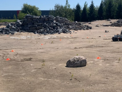
Decentralized Collaborative Simultaneous Localization and Mapping (C-SLAM) is essential to enable multi-robot missions in unknown environments without relying on pre-existing localization and communication infrastructure. This technology is anticipated to play a key role in the exploration of the Moon, Mars, and other planets. In this work, we introduce a novel dataset collected during C-SLAM experiments involving three robots operating on a Mars analogue terrain.
- Categories:
Synthetic Aperture Radar (SAR) imagery plays a vital role in identifying flooded areas in the aftermath causing loss of life and significant economic and environmental damage, as water surfaces reflect less microwave energy compared to land due to their smooth texture and low surface roughness.
- Categories:
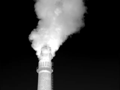
This dataset is from "One-Stage Cascade Refinement Networks for Infrared Small Target Detection." It includes 427 infrared images and 480 targets (due to the lack of infrared sequences, SIRST also contains infrared images at a wavelength of 950 nm, in addition to shortwave and midwave infrared images). Approximately 90% of the images contain only one target, while about 10% have multiple targets (which may be overlooked in sparse/significant methods due to global unique assumptions).
- Categories:
This dataset was obtained from the ionogram at Kupang in 2022 to investigate the frequency window of the Near Vertical Incidence Skywave (NVIS) channel with homogenous Time of Flight (ToF) values. All data is in the form of.mat files (MATLAB). The first dataset is in Matlab variables ('DataWidthFrekHourly','DataCenterWidthFrekHourly'), which consist of maximum window frequency values with homogenous ToF and the center frequency of the widest window. The structure of the data array is 96x365, with the row as the time (1:96) and the column as the day in one year (1:365).
- Categories:
We employed Hexacopter unmanned aerial vehicle (UAV) equipped with the SPECIM FX17E hyperspectral camera to implement ultra-low-altitude flight aerial photography missions with atmospheric correction processing. We collected three hyperspectral images and combined them into three data pairs, which exhibit varying degrees of spectral shift. Among them, a hyperspectral image including six types of ground objects was collected in Changsha at 4:00 pm on September 27, 2021, with sunny weather and a flight altitude of 30m, named CSSunny.
- Categories:
Accurately defining urban entity boundaries is crucial for analyzing urban expansion trends, understanding the impacts of urbanization on the environment, and planning and achieving sustainable urban development. In recent years, multiple global urban boundary products have emerged. However, cities’ definitions, formation processes, and morphology vary significantly across countries, making it particularly challenging to use a uniform method to delineate urban boundaries.
- Categories:
Since meteorological satellites can observe the Earth’s atmosphere from a spatial perspective at a large scale, in this paper, a dust storm database is constructed using multi-channel and dust label data from the Fengyun-4A (FY-4A) geosynchronous orbiting satellite, namely, the Large-Scale Dust Storm database based on Satellite Images and Meteorological Reanalysis data (LSDSSIMR), with a temporal resolution of 15 minutes and a spatial resolution of 4 km from March to May of each year during 2020–2022.
- Categories:
The dataset contains fitted three-pole Debye dielectric model parameters of 567 soil spectra. Three soils of loamy sand, sandy loam, and silt loam textures were tested. Of each soil, 20 samples of various water contents were prepared with the use of distilled water and potassium chloride solutions, 5 samples for each liquid. Air-dry samples were also prepared. Dielectric spectra were obtained with the use of a six-channel coaxial-transmission-line cell system at 9 controlled temperature steps from 0.5 to 40°C in the 0.02 – 3 GHz frequency range.
- Categories:
Gorakhpur is a city located in the north-eastern region of
Uttar Pradesh state of India. It is a sub-part of Purvanchal
region of Uttar Pradesh and Bihar. In the south-western
part, Gorakhpur periphery spreads along Rapti river. In
the north-western region, Gorakhpur shares its periphery
with Chillua Tal. In the southern part, Ramgarh Tal with a
perimeter of 18 km is located.
Water Bodies:
+ Ramgarh Tal is a historically important heritage site and
is also a tourist attraction; spread over 700 hectares of
- Categories: