Agriculture

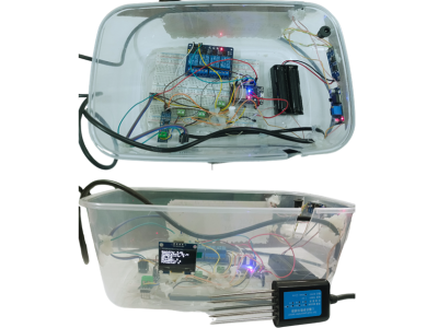
This dataset contains IoT-based soil data collected from various districts of Bangladesh, aimed at assessing soil quality for crop recommendation purposes. The data includes key soil parameters, such as nitrogen, phosphorus, potassium levels, soil conductivity, pH, humidity, and temperature, measured over multiple time intervals. The dataset includes a Soil Quality Index (SQI) and fuzzy classification categories, allowing for an in-depth soil fertility analysis.

Categories:

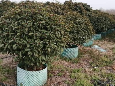
This dataset has been curated to support the development and evaluation of lightweight object detection algorithms for precision pesticide spraying in orchard environments. It comprises annotated images captured in diverse natural lighting and occlusion conditions typical of real-world agricultural fields. The dataset includes high-resolution RGB images along with corresponding bounding box annotations in YOLO format, identifying key targets. All annotations are manually verified to ensure label accuracy.

Categories:

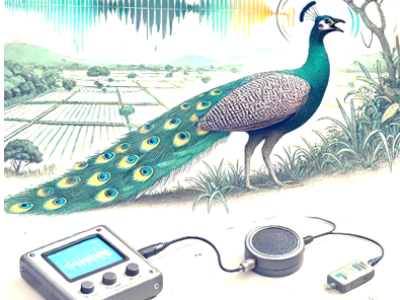
This dataset was curated mainly to cater to mitigation strategies for the Human-Peafowl Conflict that exists in these regions. The absence of natural predators has contributed to a significant increase in the peafowl population, exacerbating challenges for farmers. Peafowls are sometimes considered agricultural pests due to their tendency to feed on and damage crops. The vocalizations are from the Indian Peafowl (Pavo cristatus), a species native to the Indian subcontinent and especially abundant in India and Sri Lanka.

Categories:

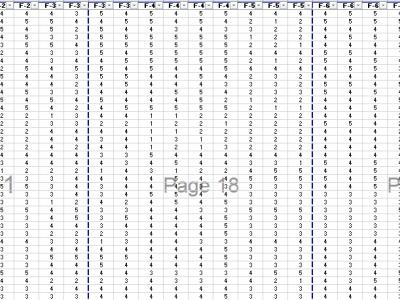
Data contains factors used to analyze the behavioral intentions of farmers. This dataset consists of ordinal survey responses collected across multiple features. Each feature appears to be evaluated on a 1–5 scale, where 1 indicates strong disagreement and 5 indicates strong agreement. The data is organized in a tabular format with a consistent structure across multiple pages. It is suitable for various statistical analyses, including factor analysis. This dataset is highly versatile.

Categories:

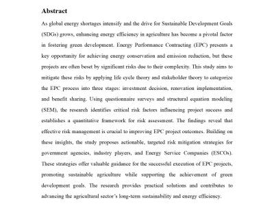
As global energy shortages intensify and the drive for Sustainable Development Goals (SDGs) grows, enhancing energy efficiency in agriculture has become a pivotal factor in fostering green development. Energy Performance Contracting (EPC) presents a key opportunity for achieving energy conservation and emission reduction, but these projects are often beset by significant risks due to their complexity.

Categories:

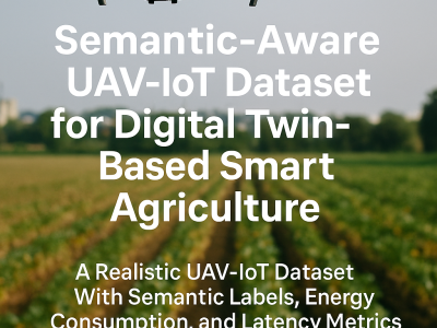
This dataset contains 60,000 annotated records modeling UAV-based and IoT sensor-driven agriculture environments. Each record includes UAV imaging data (NDVI, NDRE, RGB damage score), IoT sensor values (NPK, pH, moisture, temperature, humidity), semantic labels (NDI, PDI), and metadata for energy consumption, latency, and service migration. It is designed for validating Digital Twin frameworks, semantic communication models, and Federated Deep Reinforcement Learning (FDRL) in precision farming.

Categories:

Plant diseases remain a significant threat to global agriculture, necessitating rapid and

accurate detection to minimize crop loss. This paper presents a lightweight, end-to-end system for plant

leaf disease detection and severity estimation, optimized for real-time field deployment. We propose a

custom Convolutional Neural Network (CNN), built using PyTorch, trained on the PlantVillage dataset

to classify leaves as healthy or diseased with a test accuracy of 92.06%. To enhance its practical relevance,

Categories:

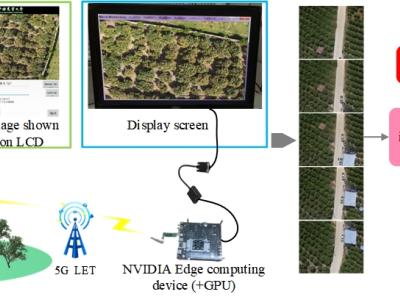
The system consists of an UAVs remote sensing system and an edge computing system. The core components of the UAVs remote sensing system mainly consist of the imaging system K510 development board and a 5G module. The K510 comes equipped with a camera and an LCD screen. The edge computing system constructed in this paper utilizes the NVIDIA Jetson series development kit, which comes with a GPU module to enhance digital image processing capabilities. The captured raw images are stitched and displayed on the NVIDIA Jetson edge computing platform using our designed improved SFIT algorithm.

Categories:

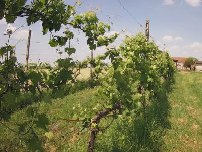
The dataset was captured from a vineyard in Bagnolo San Vito, Italy. The dataset comprises sensor readings and high-resolution images collected from 24 March 2024 to 24 December 2024, using one high-resolution camera and a LoRaWAN network of 2 air sensors and 6 soil sensors. The sensors measured air temperature and humidity, soil dielectric permittivity, and soil temperature every 10 minutes. The camera captured one 4-Mpixel RGB image per day.

Categories:

This dataset presents longitudinal measurements of plant growth characteristics under varying lighting conditions. Collected for 30 individual plants, the data spans multiple time points and includes key variables such as plant fresh weight (g), plant height (mm), plant width (mm), and number of leaves. Each measurement is associated with a specific plant, date (DD/MM/YYYY), experimental group, and a lighting recipe defined by the percentage composition of Red, Green, and Blue light.

Categories: