Sentinel-2
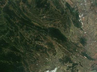
The dataset used in this study combines remote sensing data from multiple advanced platforms, including Synthetic Aperture Radar (SAR) from Sentinel-1, multispectral imagery from Sentinel-2, and LiDAR measurements from the Global Ecosystem Dynamics Investigation (GEDI) mission. Each of these sources offers unique and complementary information, enabling a detailed and comprehensive analysis of forest canopy height across diverse and ecologically significant regions in northern Vietnam.
- Categories:
 277 Views
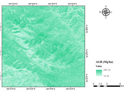
Aboveground biomass (AGB) is a vital indicator for studying the carbon sink in forest ecosystems. Semi-arid forests harbor substantial carbon storage but received little attention as high spatial-temporal heterogeneity. This study assessed the performance of different data sources (annual monthly time-series radar: Sentinel-1 (S1), annual monthly time-series optical: Sentinel-2 (S2), and single-temporal airborne LiDAR) and seven prediction approaches to map AGB in the semi-arid forests at the border between Gansu and Qinghai provinces in China.
- Categories:
 139 Views
AndalUnmixingRGB is a Sentinel-2 satellite digital RGB imagery enriched with environmental ancillary data and designed for blind spectral unmixing using deep learning. Generally, spectral unmixing involves two main tasks: spectral signature identification of different available land use/cover types in the analyzed hyperspectral or multispectral imagery (endmember identification task) and their respective proportions measurement (abundance estimation task).
- Categories:
 260 Views
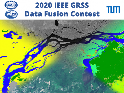
These last decades, Earth Observation brought quantities of new perspectives from geosciences to human activity monitoring. As more data became available, artificial intelligence techniques led to very successful results for understanding remote sensing data. Moreover, various acquisition techniques such as Synthetic Aperture Radar (SAR) can also be used for problems that could not be tackled only through optical images. This is the case for weather-related disasters such as floods or hurricanes, which are generally associated with large clouds cover.
- Categories:
 13899 Views


