RSSI
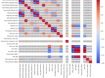
The TiHAN-V2X Dataset was collected in Hyderabad, India, across various Vehicle-to-Everything (V2X) communication types, including Vehicle-to-Vehicle (V2V), Vehicle-to-Infrastructure (V2I), Infrastructure-to-Vehicle (I2V), and Vehicle-to-Cloud (V2C). The dataset offers comprehensive data for evaluating communication performance under different environmental and road conditions, including urban, rural, and highway scenarios.
- Categories:
Wi-Fi FTM RSSI Localization dataset
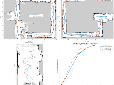
Wi-Fi Fine Time Measurement for positioning / Indoor Localization in 3 different locations and using 8 different APs
Custom APs using ESP32C3 and Raw FTM is measured in nanoseconds
Data is only measured at the Router Side
Data is not measured at client side
Has 4 datasets inside the zip folder with over 100,000 data points
Contains processed Wi-Fi FTM packets from various routers in:
- Categories:
Wi-Fi BLE RSSI SQI Localization dataset
Wi-Fi BLE RSSI for positioning / Indoor Localization in 4 different locations and using 18 different APs
Data is only measured at the Router Side
Data is not measured at client side
Has 12 datasets inside the zip folder with over 1,000,000 data points
- Categories:
To illustrate the impact of the obstacles, we consider indoor and outdoor scenarios. We consider the Department of Computer Science and Engineering, IIT(BHU) buildings as indoor buildings and the railway platform as an outdoor scenario. Here, we use single-channel LG in our experiment. The distance between LNs and LG varies from 5 to 50 meters. The floor map illustrates the walls, doors, and windows between LNs and LG. We consider railway stations for the outdoor environment. The outdoor environment did not consist of obstacles between LNs and LG.
- Categories:
To gather the dataset, we asked two participants to perform six basic knife activities. The layout of the system experiment is provided in Fig. 4. As it illustrates, we put the receiver on the right side and the ESP32 transceiver on the left side of the performing area. The performing area is a cutting board (30 x 46 cm) in this experiment. Each participant performs each activity five times in the performing area.
- Categories:
We collected data to train the ML module to determine the user’s device's location based on beacon frame characteristics and RSSI values from Wi-Fi APs. To collect the data, we defined a threshold distance of 7 feet as the maximum allowable distance between the user’s devices. We then collected two datasets: one with data collected while the two Raspberry Pis were within 7 feet or less of each other named ”authentic”, and another with data collected while the distance between the two Raspberry Pis was over 7 feet named ”unauthorized”.
- Categories:
Nowadays, the advent of science and technology has brought many benefits to people. Positioning technology has also contributed to making lives much more modern and convenient. In recent years, location technology is not only used for major purposes such as military, commerce, transportation, national security, but also to serve normal daily life activities, such as video games, online shopping, or finding fitments lost in the house or a mall, etc.
- Categories:
This file contains VLC RSSI data from the IoRL Measurement campaign.
The processing files included are developed by Ben Meunier from Brunel University London.
- Categories:
The Internet of Things (IoT) technology has revolutionized every aspect of everyday life by making everything smarter. IoT became more popular in recent years due to its vast applications in many fields such as smart cities, agriculture, healthcare, ambient assisted living, animal tracking, etc. Localization of a sensor node refers to knowing a sensor node's geographical location in the IoT network.
- Categories: