SLAM

The attachment "serial_data_dvl_20240729.txt" presents the DVL sensor data collected during the experiment in this paper, including information such as timestamps, transducer data, and velocity. The line beginning with "wru" indicates the status and information of the four transducers. The four data points following "wrx" represent, in sequence, the time interval since the last data collection (in milliseconds), x-axis velocity, y-axis velocity, and z-axis velocity. The four numbers following "wrt" represent the distances from the four transducers to the seabed.
- Categories:
 38 Views
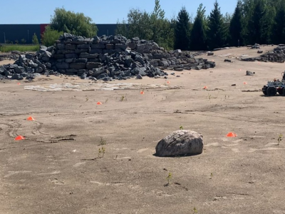
Decentralized Collaborative Simultaneous Localization and Mapping (C-SLAM) is essential to enable multi-robot missions in unknown environments without relying on pre-existing localization and communication infrastructure. This technology is anticipated to play a key role in the exploration of the Moon, Mars, and other planets. In this work, we introduce a novel dataset collected during C-SLAM experiments involving three robots operating on a Mars analogue terrain.
- Categories:
 353 Views
This dataset contains results of the 60 GHz indoor sensing measurement campaign using a bistatic OFDM radar based on 5G-specified positioning reference signals (PRSs). The data can be used for testing end-to-end indoor millimeter-wave radio positioning as well as simultaneous localization and mapping (SLAM) algorithms, including channel parameter estimation. Beamformed PRS with dense angular sampling in transmission and reception allows efficient capture of line-of-sight (LoS) as well as multipath components.
- Categories:
 2097 Views
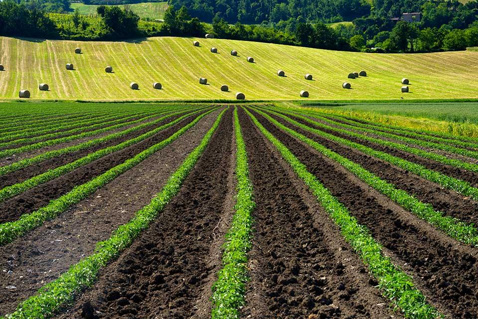
Lettuce Farm SLAM Dataset (LFSD) is a VSLAM dataset based on RGB and depth images captured by VegeBot robot in a lettuce farm. The dataset consists of RGB and depth images, IMU, and RTK-GPS sensor data. Detection and tracking of lettuce plants on images are annotated with the standard Multiple Object Tracking (MOT) format. It aims to accelerate the development of algorithms for localization and mapping in the agricultural field, and crop detection and tracking.
- Categories:
 700 Views
This is an indoor environment data set collected from our research team's laboratory, and the data is collected from the Intel RealSense D435i camera. There are a total of 12 datasets, each in the format of a `.bag` file in ROS packet format. Each file contains RGB images and IMU data.
- Categories:
 186 Views
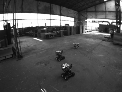
The AirMuseum dataset is intended for multi-robot stereo-visual and inertial Simultaneous Localization And Mapping (SLAM). It consists in five indoor multi-robot scenarios acquired with ground and aerial robots in a former Air Museum at ONERA Meudon, France. Those scenarios were designed to exhibit some specific opportunities and challenges associated to collaborative SLAM. Each scenario includes synchronized sequences between multiple robots with stereo images and inertial measurements.
- Categories:
 1051 Views
This dataset contains the comparison results on the 'Euroc' public dataset of DVIO, VINS-Mono, and ROVIO.
- Categories:
 589 Views
