Image Processing

The dataset aims to compile images of buildings with structural damage for analysis. The images can be classified by the severity of damage to building facades after seismic events using deep learning techniques, particularly pre-trained convolutional neural networks and transfer learning. The analysis can precisely identify structural damage levels, aiding in effective evaluation and response strategies.
- Categories:
 336 Views
The LuFI-RiverSnap dataset includes close-range river scene images obtained from various devices, such as UAVs, surveillance cameras, smartphones, and handheld cameras, with sizes up to 4624 × 3468 pixels. Several social media images, which are typically volunteered geographic information (VGI), have also been incorporated into the dataset to create more diverse river landscapes from various locations and sources.
Please see the following links:
- Categories:
 702 Views
The paper assesses the effectiveness of sharpness metrics for monitoring the cleanliness of in-line thermographic systems and enabling self-diagnosis, in order to prevent degradation of metrologic performance and increase of measurement uncertainty. When optical measurement systems are installed in harsh industrial environments, external contaminants may compromise their operation conditions. Various types of dust may settle on the lens or protective window, deteriorating the quality of the generated signal.
- Categories:
 87 Views
This study used boots, aircraft, cells, pliers, and guitars from 2D shapes included in the literature as data sets to test modeling success. These 2D shapes, which are mostly not publicly available data sets, form the target curves of IP. In this study, hand drawings with a curved structure were used in modeling, where the success of fitting precision could be better determined.
- Categories:
 75 Views
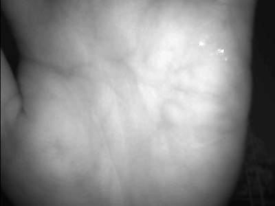
The data used in this study was gathered from various practical applications, specifically sourced from an access control device that incorporates a hardware module. Meanwhile, the data acquired through sampling conducted under 850nm light. The hardware device itself was utilized in diverse scenarios, encompassing indoor and outdoor environments, with and without background influences. Users participated in the data collection process by placing their palms naturally onto the device for multiple captures.
- Categories:
 810 Views
The dataset contains the focus metrics values of a comprehensive synthetic underwater image dataset (https://data.mendeley.com/datasets/2mcwfc5dvs/1). The image dataset has 100 ground-truth images and 15,000 synthetic underwater images generated by considering a comprehensive set of effects of underwater environment. The current dataset focus on the focus metrics of these 15,100 images.
- Categories:
 183 Views
This dataset contains simulated images and luminance matrix data of direct-lit automotive interior light guides. The light guide designs were modeled using optical simulation software, and the resulting images and luminance distributions were exported for analysis. The dataset includes:
- Categories:
 43 Views
This dataset consists of near-infrared spectral images of eight different varieties of corn seeds, classified as FH759, JL59,JY54,JY205, LH205,XX5, ZY2207, SY81. Each variety contains images of embryonic and endosperm surfaces, with 50 samples per image. The wavelength range is 881-1715 nm.
- Categories:
 226 Views
Despite the existence of road image datasets, these datasets predominantly focus on European roads with less variability in traffic and road conditions. To address this limitation, we have developed an image dataset tailored to Indian road conditions, capturing the extensive variations in traffic and environment.
- Categories:
 410 Views

