Earth Observation; Remote Sensing; Land Cover Mapping

Radio Frequency (RF) signals transmitted by Global Navigation Satellite Systems (GNSS) are exploited as signals of opportunity in many scientific activities, ranging from sensing waterways and humidity of the terrain to the monitoring of  the ionosphere. The latter can be pursued by processing the GNSS signals through dedicated ground-based monitoring equipment, such as the GNSS Ionospheric Scintillation and Total Electron Content Monitoring (GISTM) receivers.

Categories:
176 Views

The Contest: Goals and Organization

The 2022 IEEE GRSS Data Fusion Contest, organized by the Image Analysis and Data Fusion Technical Committee, aims to promote research on semi-supervised learning. The overall objective is to build models that are able to leverage a large amount of unlabelled data while only requiring a small number of annotated training samples. The 2022 Data Fusion Contest will consist of two challenge tracks:

Track SLM:Semi-supervised Land Cover Mapping

Last Updated On: 
Mon, 03/07/2022 - 04:41

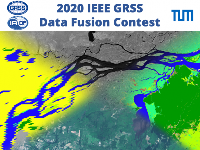
The 2020 Data Fusion Contest, organized by the Image Analysis and Data Fusion Technical Committee (IADF TC) of the IEEE Geoscience and Remote Sensing Society (GRSS) and the Technical University of Munich, aims to promote research in large-scale land cover mapping based on weakly supervised learning from globally available multimodal satellite data. The task is to train a machine learning model for global land cover mapping based on weakly annotated samples.

Last Updated On: 
Mon, 01/25/2021 - 09:03