aerial images

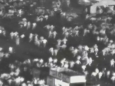
The paper presented by Samar Mahmoud; and Yasmine Arafaf et, al a novel dataset called the "Abnormal High-Density Crowd Dataset," addresses the challenge of anomaly detection in crowded environments, particularly focusing on high-density crowds—an area that has received limited exploration in computer vision and crowd behaviour understanding. The dataset is introduced with considerations for privacy, annotation accuracy, and preprocessing.

Categories:
254 Views

This dataset consists of 3500 images of beach litter and 3500 corresponding pixel-wise labelled images. Although performing such pixel-by-pixel semantic masking is expensive, it allows us to build machine-learning models that can perform more sophisticated automated visual processing. We believe this dataset may be of significance to the scientific communities concerned with marine pollution and computer vision, as this dataset can be used for benchmarking in the tasks involving the evaluation of marine pollution with various machine learning models.

Categories:
425 Views

This dataset consists of high-resolution visible-spectrum (RGB) and thermal infrared (TIR) images of two vineyards (Vitis vinifera L.) with varieties of Mouhtaro and Merlot, which was captured by Unmanned Aerial Vehicle (UAV) carrying TIR and RGB sensors three times in a cultivation period.

Categories:
885 Views

BTH Trucks in Aerial Images Dataset contains videos of 17 flights across two industrial harbors' parking spaces over two years.

Categories:
1505 Views

This aerial image dataset consists of more than 22,000 independent buildings extracted from aerial images with 0.0075 m spatial resolution and 450 km^2 covering in Christchurch, New Zealand. The most parts of aerial images are down-sampled to 0.3 m ground resolution and cropped into 8,189 non-overlapping tiles with 512* 512. These tiles make up the whole dataset. They are split into three parts: 4,736 tiles for training, 1,036 tiles for validation and 2,416 tiles for testing.

Categories:
375 Views

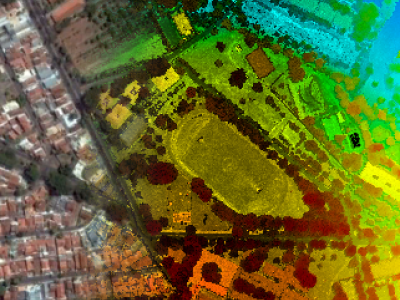
This dataset contains aerial images acquired with a medium format digital camera and point clouds collected using an airborne laser scanning (ALS) unit, as well as ground control points and direct georeferencing data. The flights were performed in 2014 over an urban area in Presidente Prudente, State of São Paulo, Brazil, using different flight heights. These flights covered several features of interest for research, including buildings of different sizes and roof materials, roads and vegetation.

Categories:
2426 Views