A dataset containing frame images and dense airborne laser scanning point clouds
- Citation Author(s):
- Submitted by:
- Antonio Tommaselli
- Last updated:
- DOI:
- 10.21227/H2SK8C
- Data Format:
- Research Article Link:
 2519 views
- Categories:
- Keywords:
Abstract
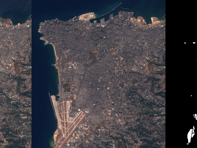
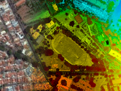
This dataset contains aerial images acquired with a medium format digital camera and point clouds collected using an airborne laser scanning (ALS) unit, as well as ground control points and direct georeferencing data. The flights were performed in 2014 over an urban area in Presidente Prudente, State of São Paulo, Brazil, using different flight heights. These flights covered several features of interest for research, including buildings of different sizes and roof materials, roads and vegetation. Three point clouds with different densities, a block of digital aerial images and auxiliary data are available. A geometric assessment was conducted to ensure the accuracy and consistency of the data.
Additional Informations
More details on this dataset can be found in the following paper (to appear in IEEE-GRSL):
TOMMASELLI, A. M. G.; GALO, M.; REIS, T. T.; RUY, R. S.; MORAES, M. V. A.; MATRICARDI, W. V. Development and assessment of a dataset containing frame images and dense airborne laser scanning point clouds. IEEE Geoscience and Remote Sensing Letters, 2017. DOI: 10.1109/LGRS.2017.2779559
Instructions:
Information about the files in this DataSet is available in readme file.