Real name: 
Congratulations!  You have been automatically subscribed to IEEE DataPort and can access all datasets on IEEE DataPort!
First Name: 
Mohamad
Last Name: 
Awad
Affiliation: 
National Council for Scientific Research
Job Title: 
research director
Short Bio: 
I earned my BSc. and MSc. degrees in Computer Science from the Lebanese American University in the years 1988 and 2001 respectively. I earned my Ph.D. from the University of Rennes 1, France in Telecommunication and Signal Processing in May 2008. I have been working for the Lebanese National Council for Scientific Research as a Researcher and then as Director of Research since early 1996. I have many published research papers and book chapters, conferences, and referred journals covering many topics in many disciplines such as GIS, Remote Sensing, Computer Science, and natural resources management. My current subject of research is developing robust methods for satellite image processing. In addition to my research activities, I teach at many known national private and public universities such as the Lebanese University. Finally, I am a reviewer for many well-known scientific journals and conferences and a senior member of IEEE and many other international societies.

Datasets & Competitions

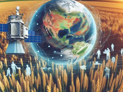
In this research, a newly modified UNet (Fast-UNet) was implemented to segment winter wheat from time series Sentinel-2 images for the years 2021 and 2023. These images were converted to NDVI and utilized to identify wheat fields by tracking the wheat phenology from sowing to harvesting. The main satellite image that was used in this research was Sentinel-2.  It is considered important, and free optical remote sensing satellite data is provided by the European Space Agency (ESA). Sentinel-2A and Sentinel-2B were launched in June 2015 and March 2017, respectively.

Categories:
184 Views

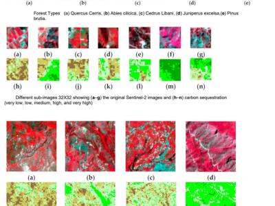
We used  Sentinel-2 images to create the dataset In order to estimate sequestered carbon in the above-ground forest Biomass.  Moreover, fieldwork was completed to gather related forest biomass volume. The clipped image has a size of 1115 × 955 pixels and consists of bands 3, 4, and 8, which correspond to green, red, and near-infrared.

Categories:
993 Views

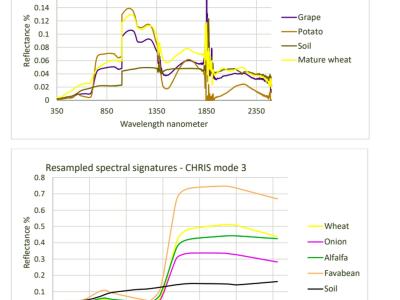
A spectral signatures database of major crops in the East Mediterranean basin was created to support remote sensing applications specifically satellite hyperspectral and multispectral image classification. Moreover, it can be used to compute many important hyperspectral vegetation indices such as:

Atmospherically Resistant Vegetation Index (ARVI)

Modified Chlorophyll Absorption Ratio Index (MCARI)

Modified Chlorophyll Absorption Ratio Index - Improved (MCARI2)

Categories:
576 Views