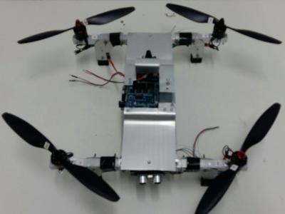
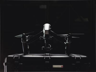
The DroneDetect dataset consists of 7 different models of popular Unmanned Aerial Systems (UAS) including the new DJI Mavic 2 Air S, DJI Mavic Pro, DJI Mavic Pro 2, DJI Inspire 2, DJI Mavic Mini, DJI Phantom 4 and the Parrot Disco. Recordings were collected using a Nuand BladeRF SDR and using open source software GNURadio. There are 4 subsets of data included in this dataset, the UAS signals in the presence of Bluetooth interference, in the presence of Wi-Fi signals, in the presence of both and with no interference.
Sample rate: 60Mbits/s
Bandwidth: 28MHz
Centre Freq: 2.4375GHz
Each recording consists of 1.2 x 10^8 complex samples equating to 2 seconds recording time. Data is saved into ‘.dat’ files and the complex data is saved as interleaved floats. ‘load_data.py’ is included for the data to be loaded into python and further split into smaller samples 20ms in length.
Files are categorised by interference, then by flight mode –
Switched on = ON
Hovering = HO
Flying = FY
Each file name uses an interference identifier, 00 for a clean signal, 01 for Bluetooth only, 10 for Wi-Fi only and 11 for Bluetooth and Wi-Fi interference concurrently. An example file name for Mavic Mini switched on in the presence of Bluetooth and Wi-Fi interference would be:
MIN + 11 + 00 + 00 = MIN_1100_00.dat
- Categories:
GPS spoofing and jamming are common attacks against the UAV, however, conducting these experiments for research can be difficult in many areas. This dataset consists of a logs from a benign flight as well as one where the UAV experiences GPS spoofing and jamming. The Keysight EXG N5172B signal generator is used to provide the true coordinates as a location in Shanghai, China.
PX4 Autopilot v1.11.3 (https://px4.io) is used for all experiments, running on Pixhawk 4 flight controller (PX4_FMU_V5) and Pixhawk GPS receiver. The UAV frame is the Holybro S500. QGroundControl (v4.0.9) is used for GCS (http://qgroundcontrol.com).
Full flight data is contained in ULOG files (https://dev.px4.io/v1.9.0/en/log/ulog_file_format.html)
CSV files are obtained by conversion using the ulog2csv script (https://github.com/PX4/pyulog/blob/master/pyulog/ulog2csv.py)
- Categories:
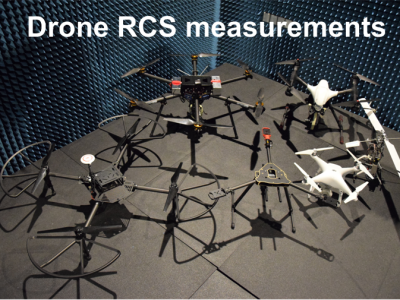
The dataset contains measurement results of Radar Cross Section of different Unmanned Aerial Vehicles at 26-40 GHz. The measurements have been performed fro quasi-monostatic case (when the transmitter and receiver are spatially co-located) in the anechoic chamber. The data shows how radio waves are scattered by different UAVs at the specified frequency range.
Some of DJI, Walkera, Parrot and Kyosho drones were measured.
The data is in ".csv" format. Each file contains the following information: frequency, theta, phi, and RCS.
The RCS signatures of the following drone models are available:
-DJI Phantom 4 Pro
-DJI F450
-DJI Mavic Pro
-Helicopter Kyosho
-Parrot AR.drone
-DJI Matrice M100
-Walkera Voyager 4
-Custom built hexacopter
-Tricopter HMF600, frame only
Polarization is mentioned in the file name:
-
HH - horizontal polarisation of the transmitter and the receiver
-
HV/VH - horizontal and vertical or vice versa
-
VV - vertical polarization of the transmitter and the receiver
In addition, 6S LiPo battery RCS is available.
Published article can be found at: https://ieeexplore.ieee.org/document/9032332
- Categories: