Artificial Intelligence

The 33-, 119-, and 136-bus datasets are commonly used in the field of power systems and electrical engineering to train reinforcement learning-based algorithms for distribution network reconfiguration. Distribution network reconfiguration involves altering the topology of the electrical distribution grid by opening or closing switches to optimize certain objectives, such as minimizing power losses, improving voltage profiles, or enhancing overall system efficiency. This process is essential for maintaining a reliable and cost-effective power distribution system.
- Categories:
 1267 Views
In primary education in China, mathematics, science, and Chinese are commonly considered as the core subjects. This emphasis is primarily due to their significance in providing a strong foundation for students' overall academic development in their whole life. Mathematics cultivates logical thinking, problem-solving skills, and numerical proficiency, which are essential in various disciplines. Science education fosters scientific literacy, critical thinking, and an understanding of the natural world.
- Categories:
 218 Views
The Narrative question answering (QA) problem involves generating accurate, relevant, and human-like answers to questions based on the comprehension of a story consisting of logically connected paragraphs. However, this problem remains unexplored for the Arabic language because of the lack of Arabic narrative datasets. To address this gap, we present the Arabic-NarrativeQA dataset, which is the first dataset specifically designed for machine-reading comprehension of Arabic stories.
- Categories:
 304 Views
ScanReferr facilitates a clear correspondence between expressions and instances in 3D point cloud scenes, enabling effective identification of target objects. However, the explicit mention of the target object in the expression creates a shortcut that filters out negative samples, aiding model learning. In order to mitigate overreliance on this shortcut, we conducted manual processing of the ScanReferr dataset. Specifically, we replaced the name of the referring object with the term ``object'' while preserving the names of other objects.
- Categories:
 27 Views
ScanReferr facilitates a clear correspondence between expressions and instances in 3D point cloud scenes, enabling effective identification of target objects. However, the explicit mention of the target object in the expression creates a shortcut that filters out negative samples, aiding model learning. In order to mitigate overreliance on this shortcut, we conducted manual processing of the ScanReferr dataset. Specifically, we replaced the name of the referring object with the term ``object'' while preserving the names of other objects.
- Categories:
 8 Views
Dataset description:
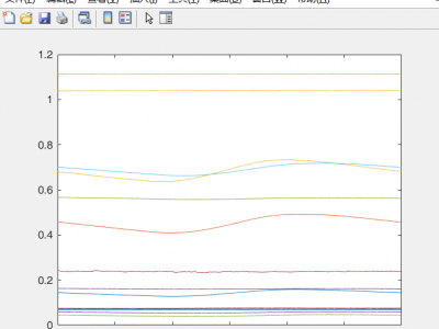
This contains ten categories of gas data, each category contains 5 concentrations, 10, 20, 30, 40, 50ppm.
There are 160 groups of 10, 20, 30, 40, each group contains 6000 sampled voltage signals, and the sampling frequency is 10HZ.
There are only 80 groups for 50ppm concentration, and each group also contains 6000 sampled voltage signals.
The label corresponding to each gas includes category and concentration, which can be split by gas category and concentration.
- Categories:
 1447 Views
Los datos empleados en el análisis del estudio fueron obtenidos del sistema SAP del Departamento Comercial de la Compañía Nacional de Electricidad (CNEL EP) Unidad de Negocio Esmeraldas. Estos datos consisten en registros originales de consumo mensual de energía eléctrica facturada (expresada en kilovatios-hora, kWh) durante un periodo de 25 meses (enero de 2021 a enero 2023). Estos registros pertenecen a 136218 clientes aproximadamente de del sector residencial de la provincia de Esmeraldas.
- Categories:
 708 Views
This study used datasets from two hospitals. These data were collaborated by physician diagnosis. Before using the data obtained from the two hospitals, the data were processed in such a way that no personal data such as names, addresses or phone numbers were stored in the dataset. Therefore, third parties cannot identify personal data in the dataset. Consent was also obtained from the hospitals where the data were collected and from the individuals participating in this study.
- Categories:
 172 Views
The dataset is obtained through the transformation of mathematical tools and image processing techniques based on TTPLA. The original TTPLA dataset consisted of aerial wire data captured through pinhole cameras. After our conversion, we obtained the corresponding fisheye aerial wire data. It includes both the original images and annotated images, significantly reducing the annotation workload for fisheye wire data. We now make it publicly available for researchers to study and learn from.
- Categories:
 116 Views

