location

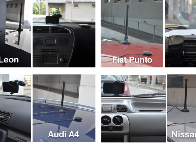
Dataset of V2V (vehicle to vehicle communication), GPS, inertial and WiFi data collected during a road vehicle trip in the city of Porto, Portugal. Four cars were driven along the same route (approx. 12 km), facing everyday traffic conditions with regular driving behavior. No special environments or settings were chosen, other than keeping the vehicles in communication reach of each other for as long as possible while being safe and compliant with the road rules.

Categories:
2652 Views

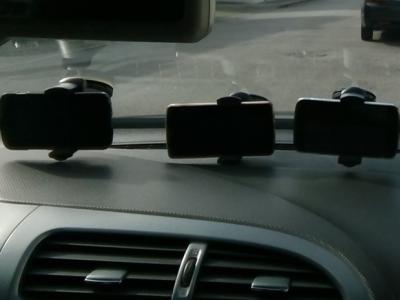
Dataset of GPS, inertial and WiFi data collected during road vehicle trips in the district of Porto, Portugal. It contains 40 trip datasets collected with a smartphone fixed on the windshield or dashboard, inside the road vehicle. The dataset was collected and used in order to develop a proof-of-concept for "MagLand: Magnetic Landmarks for Road Vehicle Localization", an approach that leverages magnetic anomalies created by existing road infrastructure as landmarks, in order to support current vehicle localization system (e.g. GNSS, dead reckoning).

Categories:
1506 Views

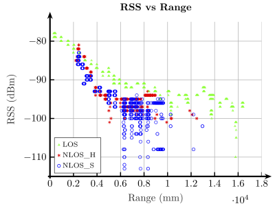
Indoor location systems based on ultra-wideband (UWB) technology have become very popular in recent years following the introduction of a number of low-cost devices on the market capable of providing accurate distance measurements. Although promising, UWB devices also suffer from the classic problems found when working in indoor scenarios, especially when there is no a clear line-of-sight (LOS) between the emitter and the receiver, causing the estimation error to increase up to several meters.

Categories:
2044 Views