Datasets
Standard Dataset
Drone Flying
- Citation Author(s):
- Submitted by:
- Dr. S. Sampath Kumar
- Last updated:
- Mon, 11/25/2024 - 23:59
- DOI:
- 10.21227/bfdv-jx33
- Data Format:
- License:
 324 Views
- Categories:
- Keywords:
Abstract
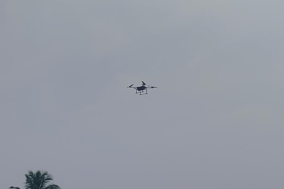
In the captured image, a drone is seen in flight, displaying its advanced technological features and capabilities. The image highlights the drone's robust design and aerodynamic structure, which are essential for its diverse applications in research and development. Drones, also known as Unmanned Aerial Vehicles (UAVs), are increasingly being utilized in various fields due to their ability to collect data from hard-to-reach or hazardous areas.
This image underscores the significance of drones in modern research, showcasing their potential to revolutionize data collection and analysis. Applications of drones in research include environmental monitoring, agricultural assessments, disaster management, and infrastructure inspection. By using drones, researchers can gather high-resolution images, thermal data, and 3D maps with greater efficiency and accuracy compared to traditional methods. The versatility and cost-effectiveness of drones make them indispensable tools in scientific studies and practical applications.
This dataset consists of high-resolution images captured by drones, intended for research applications in fields such as environmental monitoring, agricultural assessments, disaster management, infrastructure inspection, and urban planning. The dataset includes various image attributes and annotations that facilitate diverse research objectives.
More from this Author


Comments
ctcg b
hdhbxyx
hi thank you for your dataset