Satellite Images

Most of the current smoke detection techniques are developed using CCTV images. To identify the wildfire early, it can be useful to deploy satellite imagery and develop models that can recognize smoke in forest areas. However, very few labelled satellite image datasets are available to build the wildfire smoke detection model. In order to find a solution to this problem, a dataset consisting 23, 644 satellite images was gathered. The dataset is divided into four categories: smoke, smoke with fog, non-smoke, and non-smoke with fog.

Categories:
56 Views

The iSAID-Reduce100 is a reduced version of the DOTA dataset for instance segmentation task, including 1400 training samples and 1362 validation samples. The images are captured from multiple sensors and cropped to (512, 512).  

Categories:
285 Views

The Contest: Goals and Organization


The 2017 IEEE GRSS Data Fusion Contest, organized by the IEEE GRSS Image Analysis and Data Fusion Technical Committee, aimed at promoting progress on fusion and analysis methodologies for multisource remote sensing data.


Categories:
1774 Views

The Data Fusion Contest 2016: Goals and Organization

The 2016 IEEE GRSS Data Fusion Contest, organized by the IEEE GRSS Image Analysis and Data Fusion Technical Committee, aimed at promoting progress on fusion and analysis methodologies for multisource remote sensing data.

New multi-source, multi-temporal data including Very High Resolution (VHR) multi-temporal imagery and video from space were released. First, VHR images (DEIMOS-2 standard products) acquired at two different dates, before and after orthorectification:

Categories:
2073 Views

The Dataset

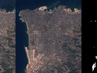
The Onera Satellite Change Detection dataset addresses the issue of detecting changes between satellite images from different dates.

Categories:
30298 Views

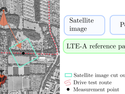
Drive testing is a common practice by mobile operators to evaluate the performance and coverage of their deployed mobile communication systems. Drive testing is, however, a very expensive practice. Furthermore, due to the complexity of future 5G mobile networks, accurate and efficient ways of optimizing and evaluating coverage are needed. The dataset contains measurements from a deployed LTE-A mobile communication system and corresponding satellite images.

Categories:
4241 Views