Change detection; Earth Observation; Remote Sensing; Land Cover Mapping

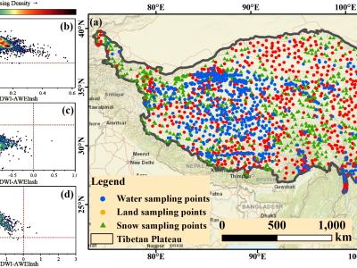
Known as the “Water Tower of Asia,” the Tibetan Plateau plays an important role not only in regional hydrology, but also in the larger, more global water cycle, as well as climate regulation. While this region plays such an important role, things get difficult when it comes to extracting water data using remote sensing techniques—primarily because of snow interference, which leads to all kinds of misjudgments and detection errors.

Categories:
198 Views


About

Dataset described in: 

Daudt, R.C., Le Saux, B., Boulch, A. and Gousseau, Y., 2019. Multitask learning for large-scale semantic change detection. Computer Vision and Image Understanding, 187, p.102783.


This dataset contains 291 coregistered image pairs of RGB aerial images from IGS's BD ORTHO database. Pixel-level change and land cover annotations are provided, generated by rasterizing Urban Atlas 2006, Urban Atlas 2012, and Urban Atlas Change 2006-2012 maps. 


The dataset is split into five parts:

    - 2006 images 

Categories:
19570 Views