Datasets
Standard Dataset
Remote Sensing Data and Agriculture Ground Truths
- Citation Author(s):
-
AdityaSingla

- Submitted by:
- Aditya Singla
- Last updated:
- Sat, 04/05/2025 - 03:45
- DOI:
- 10.21227/sbfe-ar82
- Links:
- License:
 600 Views
- Categories:
- Keywords:
Abstract
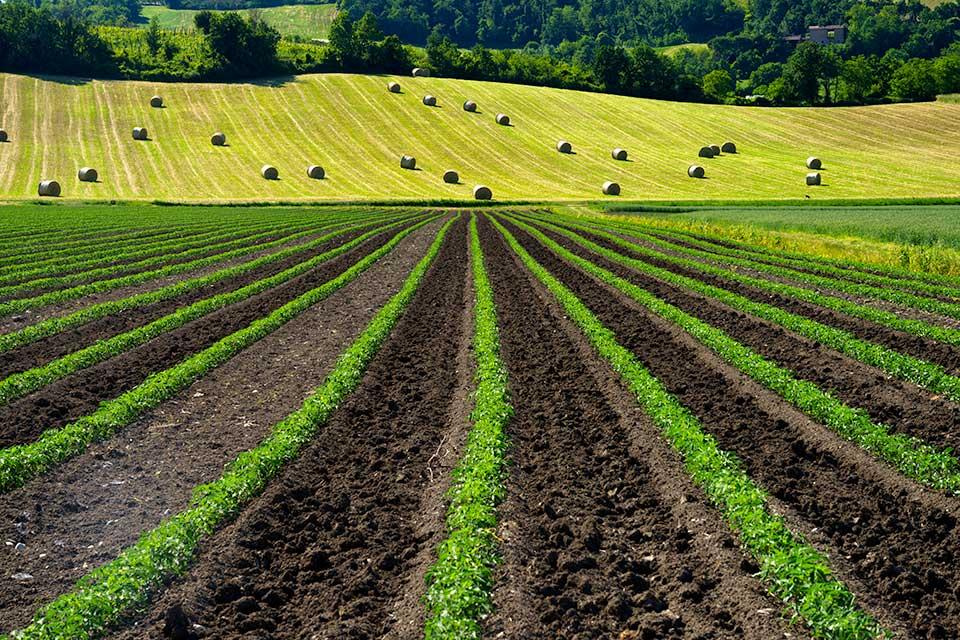
The dataset provides detailed information for wheat crop monitoring in the Karnal District, India, spanning the period from 2010 to 2022. It is divided into four main components. The first component, Remote Sensing Data, includes Sentinel-2 (10 m resolution) satellite data averaged over village boundaries, specifically over a wheat crop mask. This folder contains two Excel files: one for NDVI (Normalized Difference Vegetation Index) and another for NDWI (Normalized Difference Water Index), both providing fortnightly data during the Rabi season across a 10-year period. The second component, Ground Truth, offers village-level wheat yield estimates for the years 2019-2020 and 2020-2021. The third component, Weather Data, covers meteorological parameters in the Karnal District from 2001 to 2020. Lastly, the Coordinate-wise Data component provides geographic coordinates for wheat fields in the Rabi season of 2020-2021, consisting of 443 datapoints. This dataset supports in-depth analysis of remote sensing data, crop yields, weather patterns, and field-specific information for wheat cultivation during the Rabi season.
The dataset comprises of 4 folders:
1) Remote Sensing Data: It comprises of village wise Sentinel 2 (10 m) Resolution data average over the village boundaries over the wheat crop mask for the period 2010 to 2022 in the Karnal District. It contains two excel file:
(a) NDVI: for The Normalized Difference Vegetation Index for every fortnight data over the Rabi season for 10 years
(b) NDWI: for Normalized Difference Water Index for every fortnight data over the Rabi season for 10 years
2)Ground Truth: It consists of village wise yield estimates for the period 2019-20 and 2020-21.
3) Weather data: consists of all the meteorological parameters over the karnal district from 2001 to 2020
4) Coordinate wise data: consists of coordinates of the fields growing wheat in Rabi 202021 comprising of 443 datapoints
Related Publications:
A. Singla, A. Chaudhary and K. Rajkumar, "AI-based Geo-Spatial Data Modeling of Agriculture for Crop Yield Estimation," 2024 International Conference on Advanced Technologies for Communications (ATC), Ho Chi Minh City, Vietnam, 2024, pp. 873-878, doi: 10.1109/ATC63255.2024.10908302.


Comments
bye bye