Datasets & Competitions

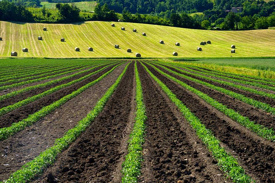
The dataset provides detailed information for wheat crop monitoring in the Karnal District, India, spanning the period from 2010 to 2022. It is divided into four main components. The first component, Remote Sensing Data, includes Sentinel-2 (10 m resolution) satellite data averaged over village boundaries, specifically over a wheat crop mask. This folder contains two Excel files: one for NDVI (Normalized Difference Vegetation Index) and another for NDWI (Normalized Difference Water Index), both providing fortnightly data during the Rabi season across a 10-year period.
- Categories:
 564 Views