Open Access Entries from this Author

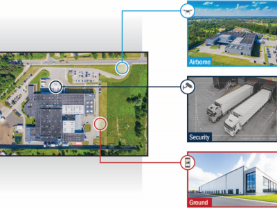
The IARPA WRIVA program aims to develop software systems that can create photorealistic, navigable 3D site models using a highly limited corpus of imagery, to include ground level imagery, surveillance height imagery, airborne altitude imagery, and satellite imagery. Additionally, where imagery lacks metadata indicating geolocation, information about camera parameters, or is corrupted by artifacts, WRIVA seeks to detect and correct these factors to incorporate the imagery in site-modelling and other downstream image processing and analysis algorithms.
- Categories:
Category

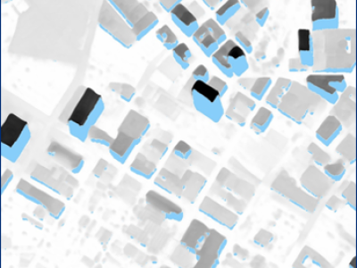
This dataset extends the Urban Semantic 3D (US3D) dataset developed and first released for the 2019 IEEE GRSS Data Fusion Contest (DFC19). We provide additional geographic tiles to supplement the DFC19 training data and also new data for each tile to enable training and validation of models to predict geocentric pose, defined as an object's height above ground and orientation with respect to gravity. We also add to the DFC19 data from Jacksonville, Florida and Omaha, Nebraska with new geographic tiles from Atlanta, Georgia.
- Categories:
Data Competition Entries from this Author

The ULTRRA challenge evaluates current and novel state of the art view synthesis methods for posed and unposed cameras. Challenge datasets emphasize real-world considerations, such as image sparsity, variety of camera models, and unconstrained acquisition in real-world environments.
- Categories:
Category
