First Name
Antoine
Last Name
Bralet
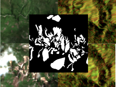
The detection of the collapse of landslides trigerred by intense natural hazards, such as earthquakes and rainfall, allows rapid response to hazards which turned into disasters. The use of remote sensing imagery is mostly considered to cover wide areas and assess even more rapidly the threats. Yet, since optical images are sensitive to cloud coverage, their use is limited in case of emergency response. The proposed dataset is thus multimodal and targets the early detection of landslides following the disastrous earthquake which occurred in Haiti in 2021.
SAR-optical remote sensing couples are widely exploited for their complementarity for land-cover and crops classifications, image registration, change detections and early warning systems. Nevertheless, most of these applications are performed on flat areas and cannot be generalized to mountainous regions. Indeed, steep slopes are disturbing the range sampling which causes strong distortions in radar acquisitions - namely, foreshortening, shadows and layovers.
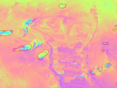
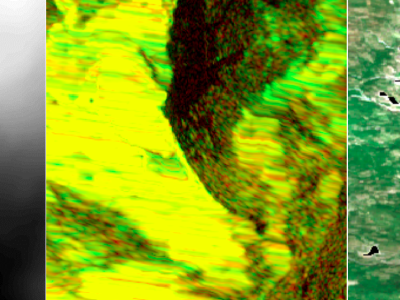
Slow moving motions are mostly tackled by using the phase information of Synthetic Aperture Radar (SAR) images through Interferometric SAR (InSAR) approaches based on machine and deep learning. Nevertheless, to the best of our knowledge, there is no dataset adapted to machine learning approaches and targeting slow ground motion detections. With this dataset, we propose a new InSAR dataset for Slow SLIding areas DEtections (ISSLIDE) with machine learning. The dataset is composed of standardly processed interferograms and manual annotations created following geomorphologist strategies.