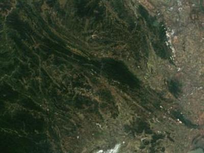
Multi-spectral sensor images
The dataset used in this study combines remote sensing data from multiple advanced platforms, including Synthetic Aperture Radar (SAR) from Sentinel-1, multispectral imagery from Sentinel-2, and LiDAR measurements from the Global Ecosystem Dynamics Investigation (GEDI) mission. Each of these sources offers unique and complementary information, enabling a detailed and comprehensive analysis of forest canopy height across diverse and ecologically significant regions in northern Vietnam.
- Categories:
 257 Views
This study introduces a novel soil texture dataset designed to overcome geographic constraints and improve the generalization of classification models. Using the USDA soil classification triangle as a framework, the dataset is systematically generated by combining pure sand, silt, and clay in varying proportions to create diverse soil texture classes. The soil mixtures are captured using a multispectral sensor with seven bands, ensuring a rich representation of spectral information.
- Categories:
 144 Views