landslide
- Citation Author(s):
- Submitted by:
- Lijia Yang
- Last updated:
- DOI:
- 10.21227/ep6n-fm58
- Data Format:
 317 views
- Categories:
- Keywords:
Abstract
The dataset consists of satellite optical images, landslide boundary shapefiles, and digital elevation models. It includes 770 landslide samples, comprising rockfalls, rockslides, and some debris landslides, along with 2003 negative samples covering various backgrounds. These samples were cropped from TripleSat satellite images taken between May and August 2018, with an image resolution of 0.8 meters.
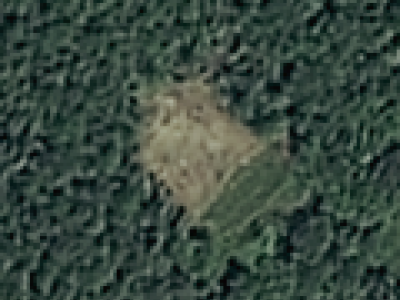
The sample image size ranges from 128 × 128 to 1024 × 1024 pixels, and each image has three spectral channels (R, G, and B). For the DEM, the spatial resolution is 0.8 meters. Figure 2 illustrates the data images for both landslide and non-landslide cases. To balance the sample sizes of landslide and non-landslide images, data augmentation techniques are employed in the experiment to increase the number of landslide samples. In the experiments, the dataset is divided into 80% for training and 20% for testing. Within the training set, 10% is allocated for validation purposes.
Instructions:
This dataset contains original images of landslides, DEM digital elevation model images, and real mask images. Data augmentation operations are used to improve the robustness of the data, and the performance of the model is detected by comparing the predicted landslide images with the real mask images.







Landslides dataset for research purposes
landslides dataset with dem is very good