Datasets & Competitions
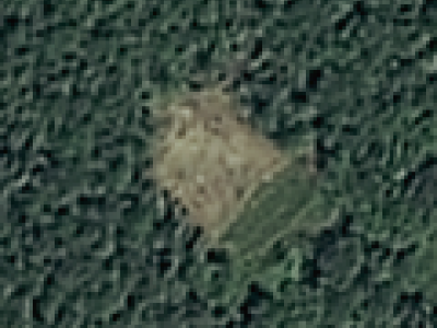
The dataset consists of satellite optical images, landslide boundary shapefiles, and digital elevation models. It includes 770 landslide samples, comprising rockfalls, rockslides, and some debris landslides, along with 2003 negative samples covering various backgrounds. These samples were cropped from TripleSat satellite images taken between May and August 2018, with an image resolution of 0.8 meters.
- Categories:
 312 Views
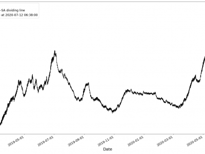
Missing values in the dataset were denoted as 999999.0. After replacing 999999.0 with NAN, it was found that the Zhaogezhuang well had 4522 missing values, and the Yutian Ji 03 well had 2076 missing values. Linear interpolation was used to fill these missing values. The datasets after filling are shown in Figures. The red dashed line in the figure indicates the dates that separate the seismically Active (SA) and seismically inactive (non-SA) periods.
- Categories:
 357 Views
