ISSLIDE: InSAR dataset for Slow SLIding area DEtection with machine learning
- Citation Author(s):
- Submitted by:
- Antoine Bralet
- Last updated:
- DOI:
- 10.21227/dhxt-5g91
- Data Format:
 1308 views
- Categories:
- Keywords:
Abstract
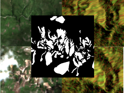
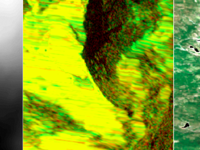
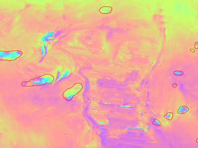
Slow moving motions are mostly tackled by using the phase information of Synthetic Aperture Radar (SAR) images through Interferometric SAR (InSAR) approaches based on machine and deep learning. Nevertheless, to the best of our knowledge, there is no dataset adapted to machine learning approaches and targeting slow ground motion detections. With this dataset, we propose a new InSAR dataset for Slow SLIding areas DEtections (ISSLIDE) with machine learning. The dataset is composed of standardly processed interferograms and manual annotations created following geomorphologist strategies. A total of 200 independent moves are delineated on each of the 54 orthorectified interferograms of 2018 Sentinel-1 images over the French Alps. Both the coherence and phase difference are available with their respective shapefiles in the Raw Dataset. A second Ready to Be Used Dataset is also released and consists in 13,230 patches of interferograms (coherence and phase) surrounding the move. This dataset is provided for future user to develop new machine and deep learning methodologies in detecting and localizing slow moving areas with standard, multi-temporal or multi-interferogram studies without any additional process.
Instructions:
There is no particular instructions for the use of the dataset:
- The raw dataset contains the 54 orthorectified interferograms (coherence and phase) with the shapefiles identifying the 200 moves on each interferogram
- The ready to be used dataset contains 13,230 patches of interferograms (coherence and phase) surrounding the moves; the ground truth are located in the respective "Segmentations" sub-folders


