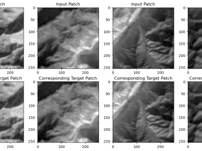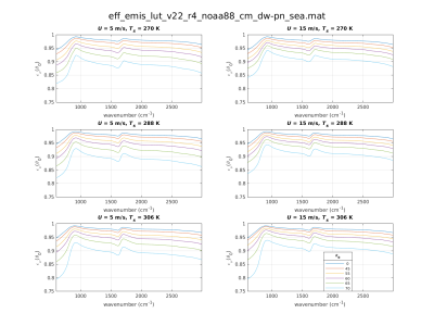
The Landsat 8 imagery, sourced from USGS Earth Explorer, covers diverse regions like the northeastern USA snow region, Brazilian forests, UAE deserts, and Indian zones (northern, central, and southern) from 2018 to 2023, capturing long-term trends and seasonal changes. The dataset, including bands B4, B5, and B10 with 30-meter resolution from LANDSAT/LC08/C02/T1\_TOA imagery, is crucial for accurate LST and emissivity prediction models. These bands capture vital land surface properties like vegetation health, moisture, and thermal characteristics, enhancing model reliability.
- Categories:

