Aerial Image Matching Benchmark Dataset

- Citation Author(s):
- Submitted by:
- Tomasz Pogorzelski
- Last updated:
- DOI:
- 10.21227/jd5s-ay89
 587 views
- Categories:
- Keywords:
Abstract
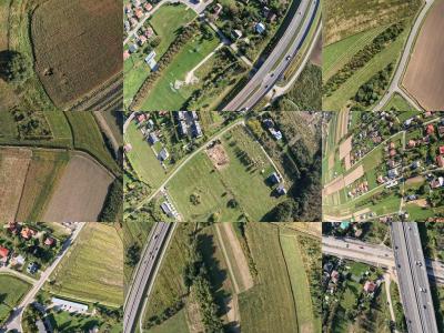
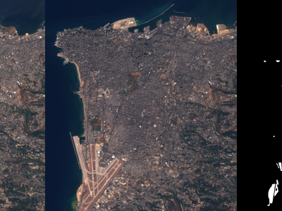
The dataset consists of aerial images captured using a UAV (Unmanned Aerial Vehicle) along with metadata detailing the camera's position, orientation, and settings during the image acquisition process. This dataset was created for the purpose of evaluating algorithms for matching camera images to satellite images. Each data entry includes:
Geographic Coordinates: The latitude and longitude indicating the precise location of the UAV at the time of image capture.
Altitude: The altitude of the UAV above ground level (AGL), measured in meters.
Camera Parameters:
Zoom level of the camera (set at 20x).
Yaw (orientation) angle of the camera relative to the UAV.
Resulant angle and its direction, specifying the inclination and alignment of the camera.
Images: High-resolution photographs of the terrain, featuring construction sites, industrial areas, and nearby surroundings. These images provide a top-down view with varying perspectives and are suited for tasks such as photogrammetry, mapping, and object detection.
The dataset is particularly valuable for research in geospatial analysis, computer vision, and UAV-based surveying applications.
Instructions:
The JPG and JSON files are used to perform validations, which result in CSV files. The CSV files are also included for visualizing the results in graphs. A script for presenting the results is attached. Change the path "dataset_path" in the overview.ipynb file


