*.tiff; *.json; zip

Detection of impact craters on the surface of Mars is a critical component in the study of Martian geomorphology and the evolution of the planet. As one of the most distinguishable geomorphic units on the Martian surface, accurate determination of the boundaries of impact craters provides valuable information in mapping and research efforts. The topography on Mars is more complex than that of the moon, making detection of real impact crater boundaries a challenging task.

Categories:
13 Views

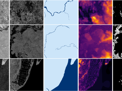
Accurate flood delineation is crucial in many disaster management tasks, including, but not limited to: risk map production and update, impact estimation, claim verification, or planning of countermeasures for disaster risk reduction. Open remote sensing resources such as the data provided by the Copernicus ecosystem enable to carry out this activity, which benefits from frequent revisit times on a global scale. In the last decades, satellite imagery has been successfully applied to flood delineation problems, especially considering Synthetic Aperture Radar (SAR) signals.

Categories:
2892 Views