First Name
Naoto
Last Name
Yokoya
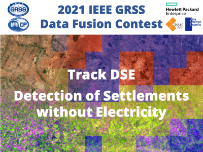
The detection of settlements without electricity challenge track (Track DSE) of the 2021 IEEE GRSS Data Fusion Contest, organized by the Image Analysis and Data Fusion Technical Committee (IADF TC) of the IEEE Geoscience and Remote Sensing Society (GRSS), Hewlett Packard Enterprise, SolarAid, and Data Science Experts, aims to promote research in automatic detection of human settlements deprived of access to electricity using multimodal and multitemporal remote sensing data.
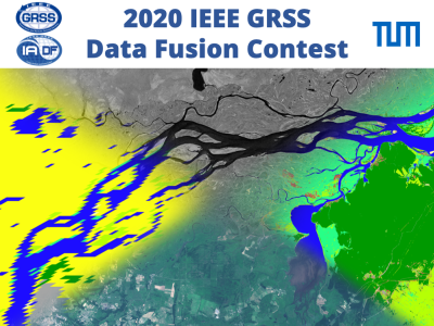
The 2020 Data Fusion Contest, organized by the Image Analysis and Data Fusion Technical Committee (IADF TC) of the IEEE Geoscience and Remote Sensing Society (GRSS) and the Technical University of Munich, aims to promote research in large-scale land cover mapping based on weakly supervised learning from globally available multimodal satellite data. The task is to train a machine learning model for global land cover mapping based on weakly annotated samples.
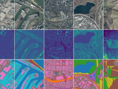
This dataset consists of orthorectified aerial photographs, LiDAR derived digital elevation models and segmentation maps with 10 classes, acquired through the open data program of the German state North Rhine-Westphalia (https://www.opengeodata.nrw.de/produkte/) and refined with OpenStreeMap. Please check the license information (http://www.govdata.de/dl-de/by-2-0).