Datasets & Competitions
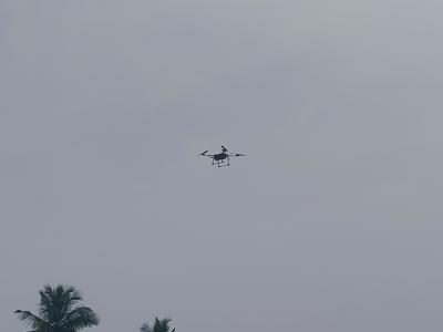
In the captured image, a drone is seen in flight, displaying its advanced technological features and capabilities. The image highlights the drone's robust design and aerodynamic structure, which are essential for its diverse applications in research and development. Drones, also known as Unmanned Aerial Vehicles (UAVs), are increasingly being utilized in various fields due to their ability to collect data from hard-to-reach or hazardous areas.
- Categories:
 298 Views
The "Paddy Field Dataset Captured in Palakkad District, Kerala, India" is a comprehensive collection of geospatial and attribute data specifically focused on paddy cultivation within the Palakkad district of the Kerala state in India. This dataset encompasses a wide range of information related to paddy fields, including their spatial distribution, size, crop varieties cultivated, land management practices, and relevant contextual factors. Geographic Information System (GIS) technology has captured accurate geospatial coordinates, enabling precise mapping and analysis.
- Categories:
 1033 Views
The "Paddy Disease Dataset" represents a comprehensive collection of data related to various diseases commonly found in paddy crops. Paddy, or rice, is a staple crop crucial for global food security. However, paddy crops are susceptible to a range of diseases that can significantly impact yield and quality. This dataset encompasses a diverse array of disease-related information, including disease types, symptoms, geographical distribution, severity levels, and potential management strategies.
- Categories:
 696 Views

