Sea Surface Imaging Simulation for 3D Interferometric Imaging Radar Altimeter

- Citation Author(s):
- Submitted by:
- Zhaoxia Wang
- Last updated:
- DOI:
- 10.21227/pytj-ve06
- Links:
 130 views
- Categories:
- Keywords:
Abstract
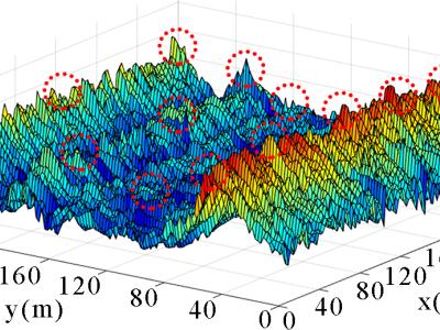
<p>Our data set contains five subsets, which are Seadata, RCSdata, RD_SeaImage, BP_SeaImage and SSHdata. Seadata is the data of simulated sea. RCSdata is the data of sea surface backward scattering coefficient. RD_SeaImage is the simulated images of sea surface. BP_SeaImage is the simulated images of sea surface. SSHdata is the sea surface height data.</p>
Instructions:
<p>The datasets were used for Our manuscript “Sea Surface Imaging Simulation for 3D Interferometric Imaging Radar Altimeter”(DOI: 10.1109/JSTARS.2020.3033164) . This readme file details the specific meaning of the data contained in the five subsets of this dataset. All data are stored in .mat and can be opened and used with MATLAB. When using data sets, it is recommended to use the version above matlab 2016.</p>


