Datasets
Standard Dataset
travel capacity calculation dataset
- Citation Author(s):
- Submitted by:
- Kui LuChao
- Last updated:
- Sun, 03/30/2025 - 04:21
- DOI:
- 10.21227/q4ac-b808
- Data Format:
- License:
Abstract
This dataset includes three types: DEM, land cover data, and high-definition remote sensing images.
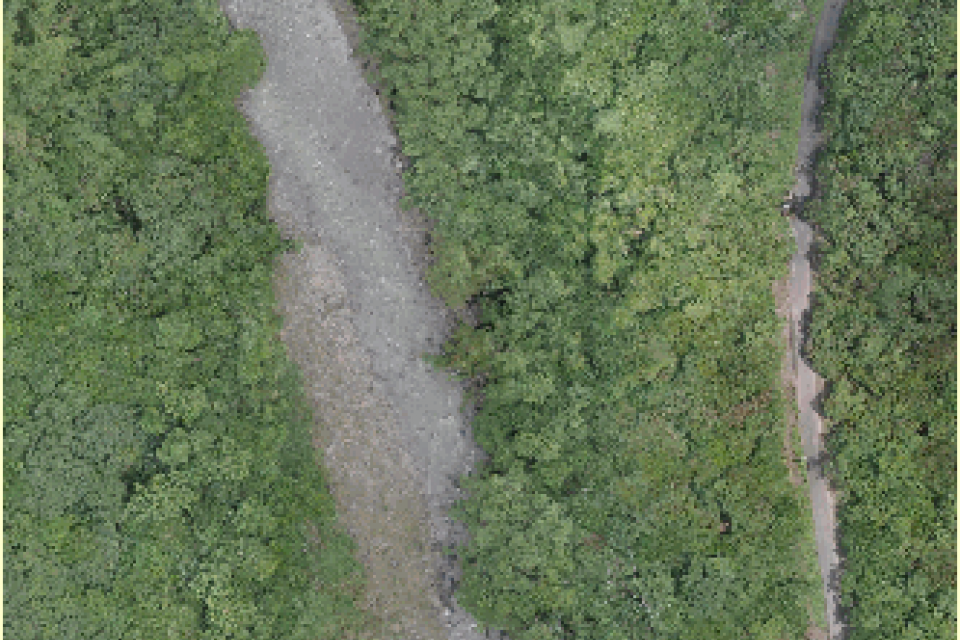
Among them, the DEM data has an accuracy of 30 meters and is used to calculate the slope value. The land cover data has an accuracy of 8.98 meters and is located in a field area in southern Taiwan, China, and is used to extract coarse-grained land object types. The high-definition remote sensing data is taken by drones with an accuracy of 0.03 meters and is used for unsupervised classification of land objects.
These data are used to study the calculation method of field grid traffic capacity value.
Land cover data.tif was produced by Professor Gong Peng of Tsinghua University, with an accuracy of 8.98 meters. It can be used to extract coarse-grained land object type values. The type value information contained in the data can be obtained on the website of Pengcheng Laboratory of Tsinghua University.
image data.tif is high-definition image data taken by drones on the openaerialmap website, which is used for the final automatic classification of land objects.
Dem.tif is 30m DEM data downloaded from www.gscloud.cn, and slope values can be calculated using tools such as GlobalMapper.
Dataset Files
- calculation dataset.part1.rar (10.00 MB)
- calculation dataset.part2.rar (10.00 MB)
- calculation dataset.part3.rar (10.00 MB)
- calculation dataset.part4.rar (4.91 MB)

 184 Views


Comments
https://sprunkiphase4.net/
Unlike traditional rhythm games, sprunki phase 4 focuses on user creativity with ghostly atmospheres and layered beats, delivering a thrilling music-making experience.