Datasets & Competitions
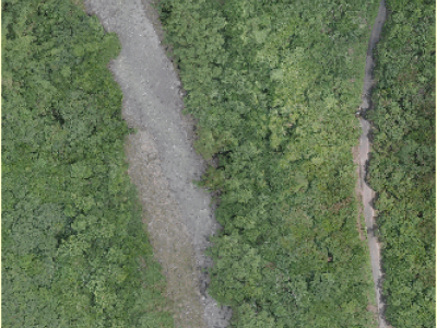
This dataset includes three types: DEM, land cover data, and high-definition remote sensing images.
Among them, the DEM data has an accuracy of 30 meters and is used to calculate the slope value. The land cover data has an accuracy of 8.98 meters and is located in a field area in southern Taiwan, China, and is used to extract coarse-grained land object types. The high-definition remote sensing data is taken by drones with an accuracy of 0.03 meters and is used for unsupervised classification of land objects.
- Categories:
 149 Views