MapData

- Citation Author(s):
-
Peihao Wu
- Submitted by:
- Yongxiang Yao
- Last updated:
- DOI:
- 10.21227/g12j-yr42
 51 views
- Categories:
- Keywords:
Abstract
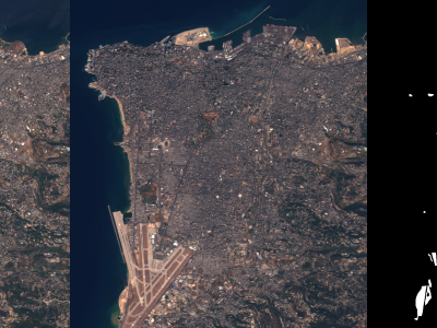
MapData is a globally diverse dataset spanning 233 geographic sampling points. It offers original high-resolution images ranging from 7,000×5,000 to 20,000×15,000 pixels. After rigorous cleaning, the dataset provides 121,781 aligned electronic map–visible image pairs (each standardized to 512×512 pixels) with hybrid manual-automated ground truth—addressing the scarcity of scalable multimodal benchmarks.
Instructions:
Within the MapData structure, each of the 233 folders represents a unique geographic sampling point. Inside each folder, there are three subfolders (named 1, 2, and 3) corresponding to three different image pairs sampled at that location. Each subfolder further contains two directories: L for source images and R for target images.


ok