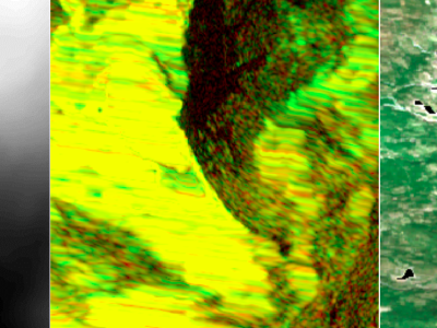
SAR-optical remote sensing couples are widely exploited for their complementarity for land-cover and crops classifications, image registration, change detections and early warning systems. Nevertheless, most of these applications are performed on flat areas and cannot be generalized to mountainous regions. Indeed, steep slopes are disturbing the range sampling which causes strong distortions in radar acquisitions - namely, foreshortening, shadows and layovers.
- Categories: