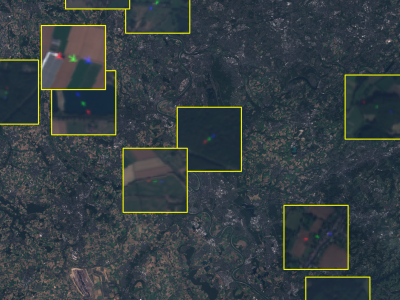
This dataset contains satellite images of areas of interest surrounding 30 different European airports. It also provides ground-truth annotations of flying airplanes in part of those images to support future research involving flying airplane detection. This dataset is part of the work entitled "Measuring economic activity from space: a case study using flying airplanes and COVID-19" published by the IEEE Journal of Selected Topics in Applied Earth Observations and Remote Sensing. It contains modified Sentinel-2 data processed by Euro Data Cube.
- Categories:
