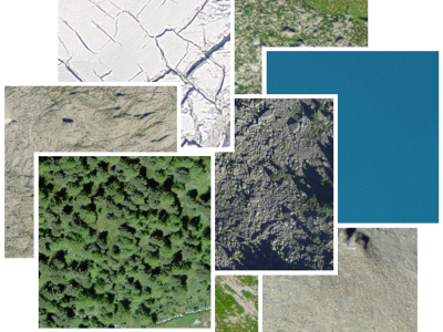
Our large scale alpine land cover dataset consists of 229'535 very high-resolution aerial images (50cm) and digital elevation model (50cm) with land cover annotations produced by experts in photo-interpretration . The nine land cover types in our study area include bedrock, bedrock with grass, large blocks, large blocks with grass, scree, scree with grass, water area, forest and glacier.
- Categories: