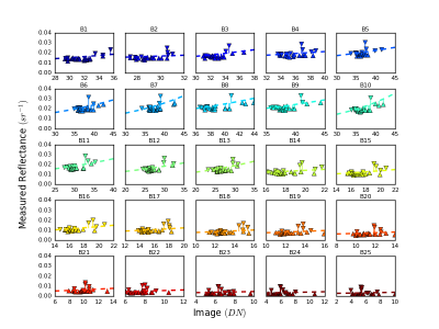
Empirical line methods (ELM) are frequently used to correct images from aerial remote sensing. Remote sensing of aquatic environments captures only a small amount of energy because the water absorbs much of it. The small signal response of the water is proportionally smaller when compared to the other land surface targets.
This dataset presents some resources and results of a new approach to calibrate empirical lines combining reference calibration panels with water samples. We optimize the method using python algorithms until reaches the best result.
- Categories:
