First Name
JAGANNATHAN
Last Name
J
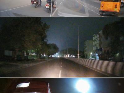
The Dash Cam Video Dataset is a comprehensive collection of real-world road footage captured across various Indian roads, focusing on lane conditions and traffic dynamics. Indian roads are often characterized by inconsistent lane markings, unstructured traffic flow, and frequent obstructions, making lane detection and traffic identification a challenging task for autonomous vehicle systems. Reliable lane detection is crucial for developing robust Advanced Driver Assistance Systems (ADAS) and autonomous driving models tailored for Indian conditions.
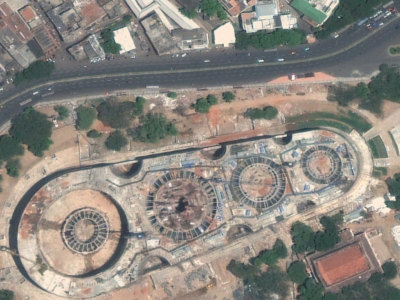
Time-series satellite images provide a sequence of spatial data captured over regular intervals, enabling the analysis of changes on the Earth's surface over time. These images are particularly useful in monitoring environmental phenomena, land use changes, urban development, and agricultural patterns. By examining the same location at different time points, time-series satellite imagery allows for the detection of trends, anomalies, and transitions in land cover.