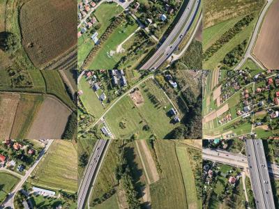
The dataset consists of aerial images captured using a UAV (Unmanned Aerial Vehicle) along with metadata detailing the camera's position, orientation, and settings during the image acquisition process. This dataset was created for the purpose of evaluating algorithms for matching camera images to satellite images. Each data entry includes:
Geographic Coordinates: The latitude and longitude indicating the precise location of the UAV at the time of image capture.
Altitude: The altitude of the UAV above ground level (AGL), measured in meters.
- Categories:
